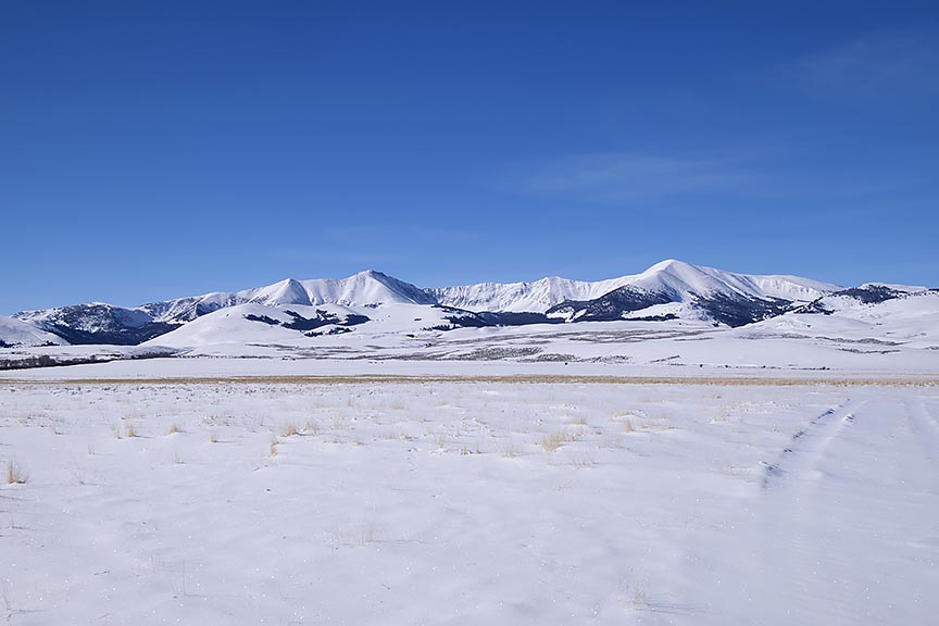
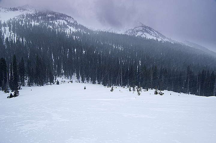
While the snowpack on the Continental Divide in the Bitterroot Range of Montana and Idaho remains soft, change is in the works. With the more direct rays of the mid-March sun coupled with a forecast in the next seven days of warming temperatures, a crust is finally going to form on the surface. That means I will be able to travel with lessening danger of breaking through the surface of the snow.
Because I travel alone during the winter, conservative actions are essential. That means I should take no chances in the many feet of deep snowpack with anything less than a strong crust. The snowpack needs to carry my weight and a large backpack, in addition to pulling a sled. While wearing snowshoes, a deep plunge through the snow with a load can blowout joints and even break bones. An accident like this can happen even on a flat, but is particularly hazardous in a descent. In addition, if the crust is just barely strong enough to carry my weight, that is synonymous to more plunging in an ascent, making the climb impossible to complete without breaking the load down and ferrying my gear and supplies to the top of the hill/mountain. Need I say that there is no joy in that type of travel?
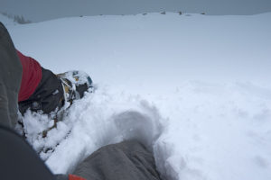
A weak crust, this area of the Centennial Mountains was fine for travel until I began a small ascent. A snowshoe broke through, and the rest of my body dropped through the snowpack.
Powder snow or a weak crust is tough to travel through, impossible
on a long haul, and nearly so when only going out for two or three days. In the
next 60 days, I plan to exit three times for two days each over a distance of
203 miles. The rest of the time, I will be ascending and descending
continuously, doing push back on the cold while evading the Continental Divide’s
windy storms and the consequential avalanche zones. The last thing I need is to
go out on a snowpack that will not hold approximately 300 pounds of weight.
In the summer of 1968, the year I turned 17, I visited a friend at his parent’s ranch in Montana’s Bitterroot Valley. It was June or August; I am unsure which. The reason I know it was one of those two months was because they were bucking bales of hay, 85 to 95 pounds of twined grass for the following winter’s feeding of their cattle. A difficult job, throwing those scratchy, heavy and awkward bales onto the flatbed trailer, where someone else stacked them neatly in layers. The work required lots of upper body strength, leather gloves and regardless of how hot the day may have been, wearing a long sleeve shirt.
Day-7 of 11 during the final leg of travel in the Centennial Mountains of Idaho and Montana.
On the ground strolling next to the moving trailer were three men. They were throwing the bales up to the man on the growing stack of hay. One of these men was a shocker for me. My friend’s grandfather, and he was old! I said nothing as I watched this guy stay up with the younger men. To me he was a phenomenon. All the people I knew that were his age, the World War I generation, had retired, were drawing pensions and sitting around waiting for that last breath and the stilling of their hearts.
Not him! He was strolling on that field at about 2 miles per hour picking up those bales, throwing them, and occasionally cussing when one would penetrate his long sleeve shirt and scratch his arm. He absolutely did not belong out there and yet there he was refusing that rocking chair.
That year also marked the 50th anniversary of when the Doughboys fought in France, thereby ending the Great War. He was one of those soldiers or marine.
Watching the old man and seeing the difference, inwardly I shook my head. I figured I would be one of those who would quit; claiming old age, rather than go down like him pushing the envelope to the very end.
A year after that momentous occasion I joined the Army and went to Vietnam. Now 50 years later, I may have been wrong about me.
In a matter of hours, I will connect the sled to the backpack, slip into the snowshoe harnesses, throw the backpack on, and travel into the great and barren wilderness of the Bitterroot Range for an unknown number of weeks. This will be my longest leg yet with 52 miles to travel and 28 days of supplies to get me through 11,000 feet of ascending and descending.
Quit hell! Maybe tomorrow.
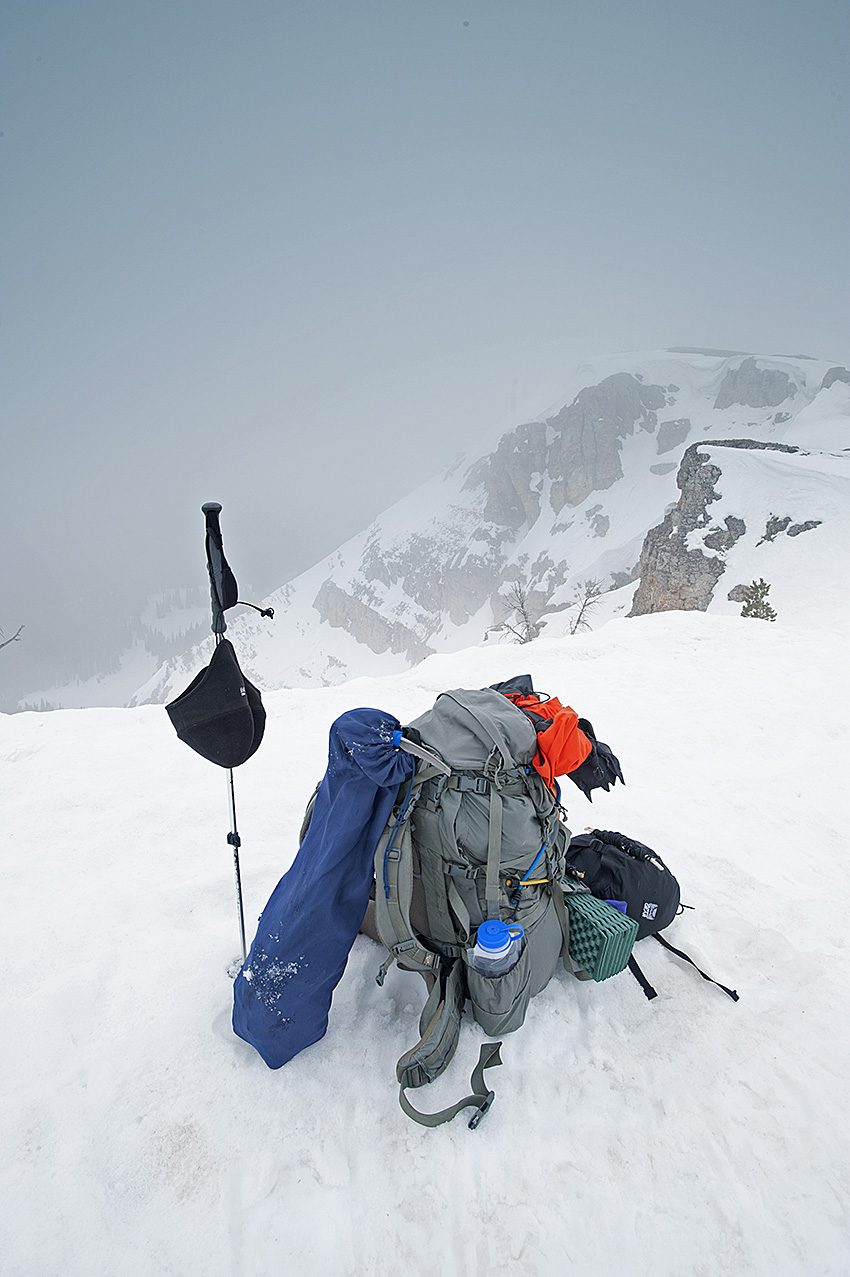
Day-6 of 11, north face travel, 3 days of it in steep and forested terrain. Final leg of travel in the Centennial Mountains of Montana and Idaho.
With the collapse of my most important protective gear, in particular the sleeping system, but also the down coat and my active clothing, which includes my boots and torso layers, there have been additional alterations made. As a result, when I continue the trip along the Great Divide, probably Wednesday, February 21, the weight of my load has increased to 91 pounds. This leg, the third this winter, will begin in Montana in the Centennial Valley, taking me up to Pete Creek Divide in the Centennial Mountains, and then west to the Monida Pass area and Interstate 15, a distance of 20 miles.
After an overnighter at the Mountain View Motel in Lima Montana, the next leg will take me west of Monida Pass and Interstate 15, which will be much tougher. At 52 miles in length, this leg will require a heavier load.
West Camas Creek Road near Pete Creek confluence, Centennial Mountains, Idaho
Later, with winter’s worst behind me, where temperatures will have been capable of dropping to forty and more degrees below zero Fahrenheit, I will shed some of the necessary protective gear, eventually getting the load down to 83 pounds. The lighter load will happen after mid-March, when the lowest temperature will only be capable of dropping to ten below zero.
In April, the coldest temperatures will remain above zero. At that time however, it will become necessary to carry climbing gear, approximately 15 pounds of additional weight.
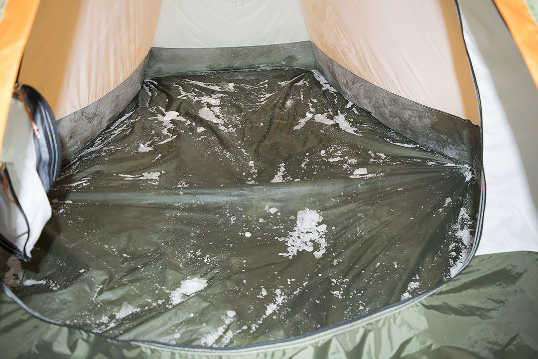
Moisture is more dangerous in a winter camp than the coldest temperature!
My sleeping system collapsed on the 10th and final night of the last trip. During the journey I weathered two nights with temperatures subzero Fahrenheit, one with a low of 17 degrees below zero. On the final night, the low temperature was 12°, something the system should have been able to handle, but failed.
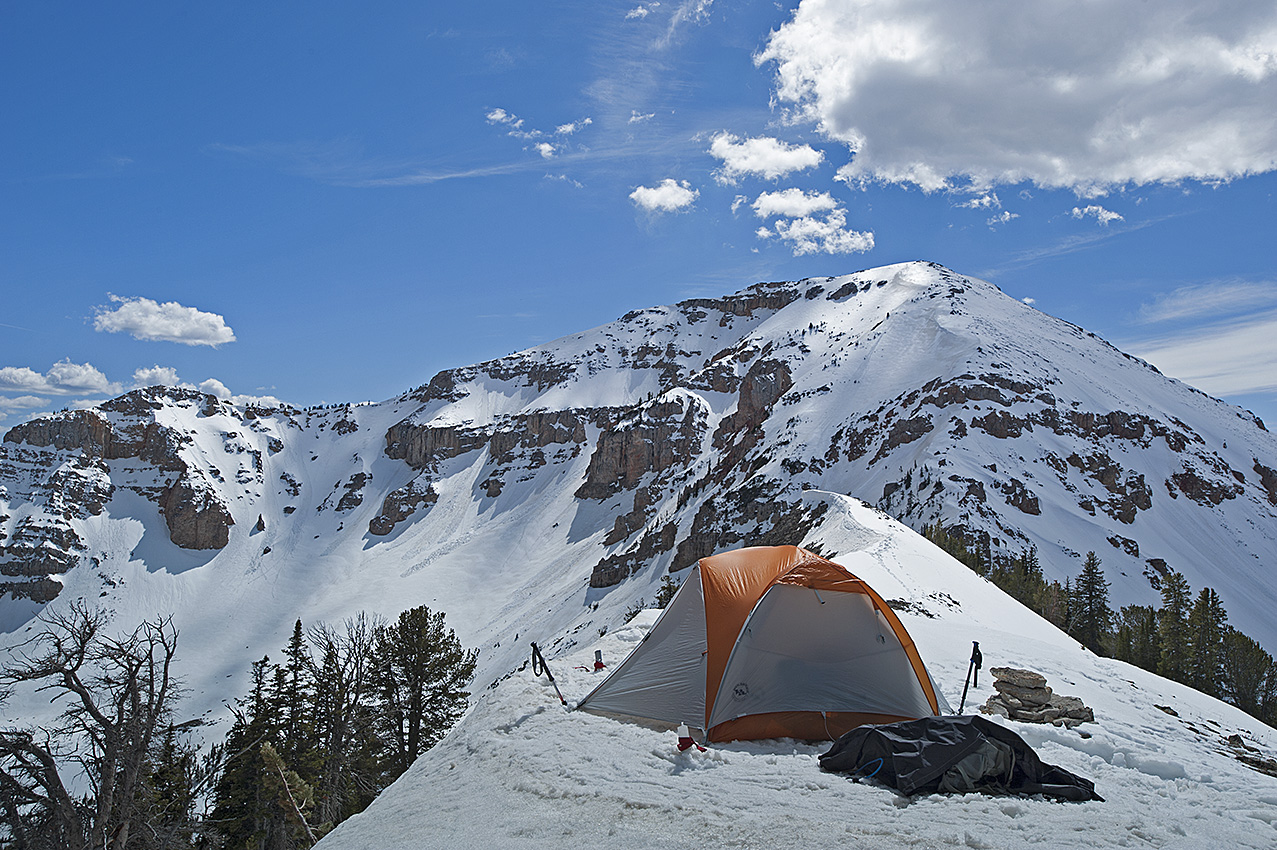
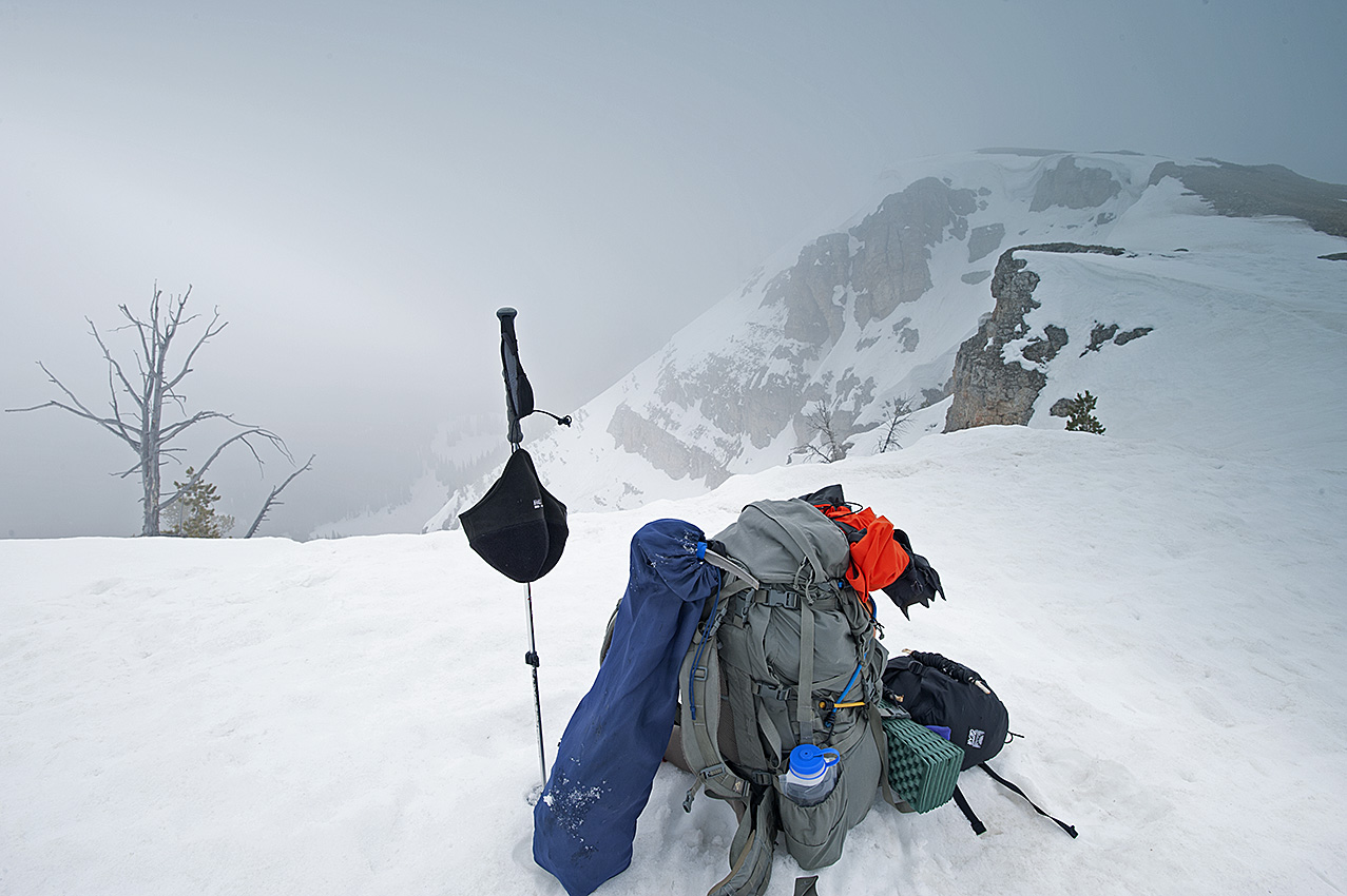
Building the final camp of the trip. The temperature had just dropped below zero degrees Fahrenheit. (Click on pictures to enlarge.)
For the last week and a half, I have been thinking about what happened so I can determine what I need to do to make sure there is not a repeat, or minimize the impact of a recurrence. Much of what I am about to list I have known in some cases for more than 20 years, but forgot during the trip.
Starting with the last item first:
· There is no guarantee that the failure will not happen again.
· My body is always releasing moisture.
o But for the vapor barrier liner inside the sleeping bag and bivy sack, I can do little about that.
· To prevent moisture from dripping off the tent ceiling and walls, keep the temperature inside the tent as much as possible below 32°F.
· Minimize the use of the stove.
o As much as possible, do not let water boil.
o Turn the stove off rather than let water simmer.
o Open the vents further in the vestibule and the tent interior.
o Close the inner tent door, thereby blocking some moisture from the kitchen inside the vestibule.
· Except in an emergency, do not use heat from the stove to dry equipment and clothing.
· Wherever possible build camps where there is air movement, which will keep the frost down on walls and equipment. Where wind is concerned, it is both friend and enemy.
o Friend: The wind keeps the moisture down by replenishing moisture-laden air inside the tent with the extremely low humidity winter air, thereby minimizing or eliminating frost/moisture buildup.
o Enemy: On the Continental Divide, scoured ridgelines are a sign that the wind up there can tear a tent apart. I know; one destroyed tent in Henrys Lake Mountains, and one blown away tent off a bald mountain in the Centennial Mountains.
After losing 85 ounces of water inside the tent, the only residue remaining while breaking camp was scattered on the tent floor. Most of the water froze inside the equipment spread out on the floor.
· Minimize the amount of stored water. Melt snow only for immediate use except for the water used through the night and for the next morning’s first cup of coffee.
· Add a fleece blanket with a zipper, to place the sleeping bag inside. This extra layer of insulation will slow the frost buildup inside the down of the sleeping bag. Unfortunately, its weight is 26.8 ounces. The blanket is a mere 2 ounces less than the bivy sack and vapor barrier liner combined.
The trip demonstrated to me that my sleeping system is imminent to fail. The only question is how long I can postpone the collapse. This problem could be fatal. The bedroom in the tent is my final defense against the cold. If it should fail, then like so many others who have gone before me, my demise becomes a distinct possibility.
As the result of the back off/go around of Big Table Mountain two weeks ago, I now face a resupply dilemma. The distance between Kilgore, where I will begin again, to Pete Creek Divide is greater than any other area to the 241-mile distant Chief Joseph Pass. In the powder snow condition now present on the Continental Divide, I will average less than two miles per day of forward progress.
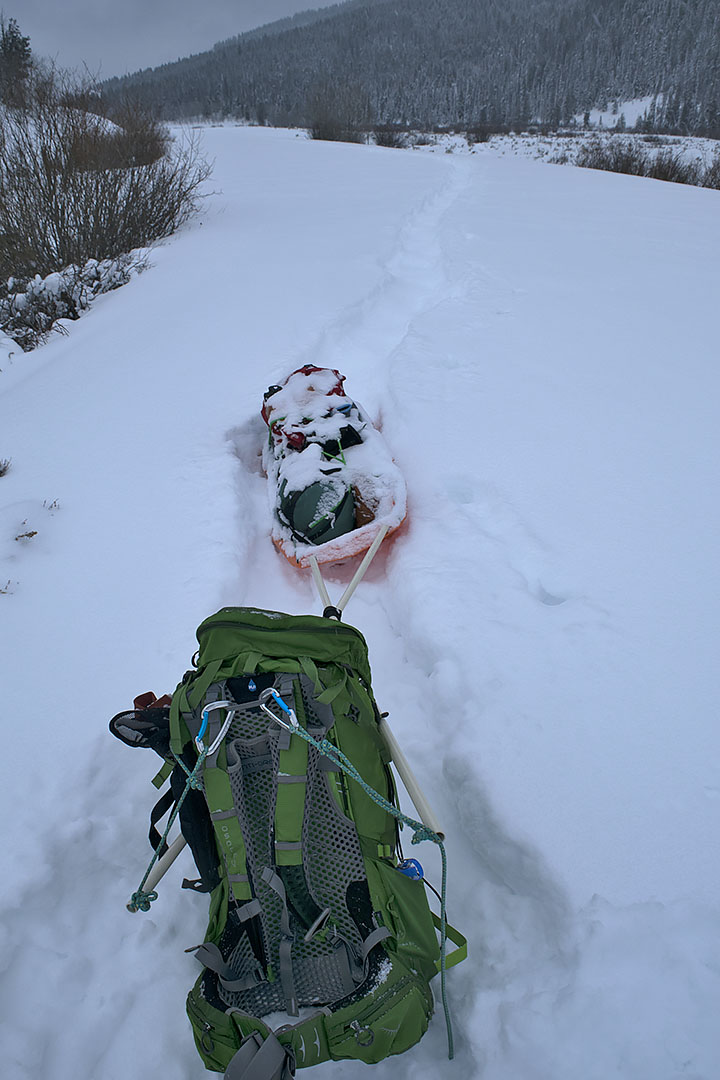
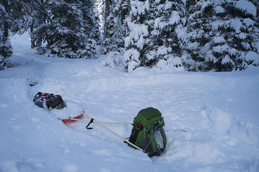
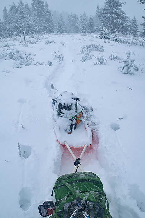
Leaving the backpack and sled behind, as I build a trail through the powder snowpack.
For those of you unfamiliar with travel conditions in deep powder, I have to drop my pack and sled, and then build a trail through the snow before progressing forward with my gear. If my journey remains the same as two weeks ago, I will travel an average of 4.5 miles to gain 1.5 miles per day. This is the penalty of traveling alone and for making the attempt during the period between December and at least mid-February. In addition, the remainder of February through March is still a threat for powder travel conditions. There are no guarantees.
To get through this area, I plan to carry 12 days of supplies from Kilgore, Idaho to the next resupply. That tallies to a substantial weight, almost 90 pounds. In spite of this large supply, if the resupply near Pete Creek Divide is missing, I may be down to three days of supplies to get me to the Monida Pass area. I could find myself without supplies for four days.
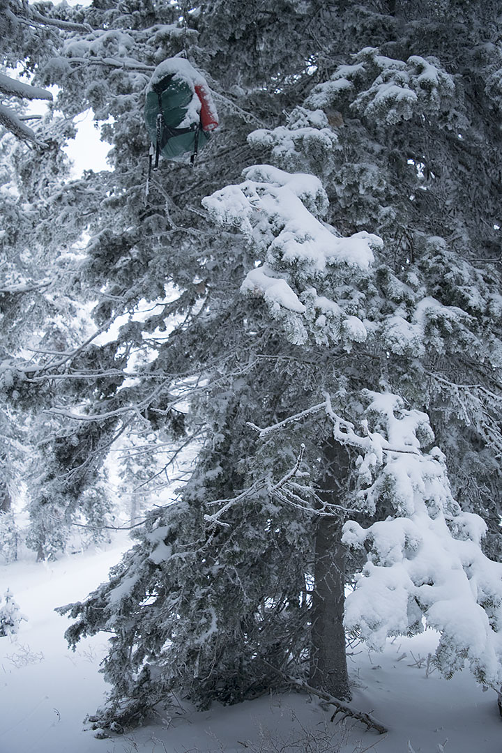
A resupply located at least 12 feet above the ground.
Needing to address this threat as I see it, I have two options. Both look and smell like a bag of rotting groceries. The first option is to skip the ascent to Pete Creek Divide, thereby saving two days of travel, including a 900-foot climb. The other option, should I find that the resupply is missing up there, I could dive off the north face of the Centennial Mountains, down to Centennial Valley on the Montana side of the mountains, and arrive at the winter maintained road. Unfortunately, neither option may be enough. I might still run out of supplies before arriving back on the edge of civilization.
Fortunately, the only decision I need to make today is when I leave to continue the trip. The next decision can wait until I arrive at the first fork on the route, approximately six days into the trip. Unfortunately, much also depends on how quickly I get to that first fork. With the incoming storm, I can only give a partially educated guess concerning how much powder I will encounter, which is likely to be substantial.
This morning, I am thinking about the two caches in Idaho near Gibbonsville. The number of hunters that were in that area when I placed the resupplies was an eye-opener, but not, apparently, enough to deter me from placing eight days of groceries and fuel up there. This close to December, it is likely too late to go verify they are still in place, unless it becomes a multi-night backcountry snowshoe trip.
Topographic map of the Fourth of July and Sheep Creek canyons where two resupplies are located. (Click on the picture to enlarge.)
Here’s the issue; those caches are 220 miles beyond the beginning of this winter’s travel. Hell, I haven’t even left yet, and whether they are still hanging in their respective trees are weighing on me. Am I to resign myself to months of worrying? God knows, throughout the last three years, as many that have gone missing after I have hung them, this is a valid concern.
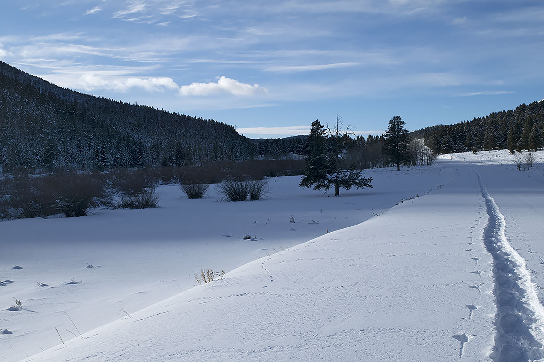
The Continental Divide Trail near the head of Fourth of July Creek canyon, unusable throughout the winter.
One other item, the distance to Chief Joseph Pass is 248 miles, this winter’s original goal. If I am able to get that far, it will be a wonder. Yet in October, I decided to tack on an additional 235 miles. Nope, 248 miles will have to suffice for this winter. There are far too many hazardous locations along the route, which coupled to the great unknown—weather; gives me plenty of opportunities to get into all kinds of trouble.
Back to the original topic, I will not be making that trip to investigate whether the two resupplies are still on location.
Umm, and I reserve the right to change my mind again.
In 2016, my wife and I agreed that if I failed to make 100 miles of forward progress through the winter of 2017, I would abandon the Continental Divide winter trip altogether. That failure indeed happened. However, because of the circumstances, I was able to convince Carleen to let me have another year.
Here are those circumstances.
· The first part of December coming off a training trip, I fell and cracked some ribs, which stopped me in my tracks for the next eight weeks. Even then, I knew taking the trip would be untenable if not outright impossible.
· Near the end of January, I caught a virus that cut me down for nearly 3 weeks. More loss of physical conditioning.
· I agreed to stay put until the end of February. With two ailing dogs, one within days or weeks from the end of his life, Carleen was going to be gone for most of February. The dog did pass the middle of that month.
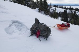
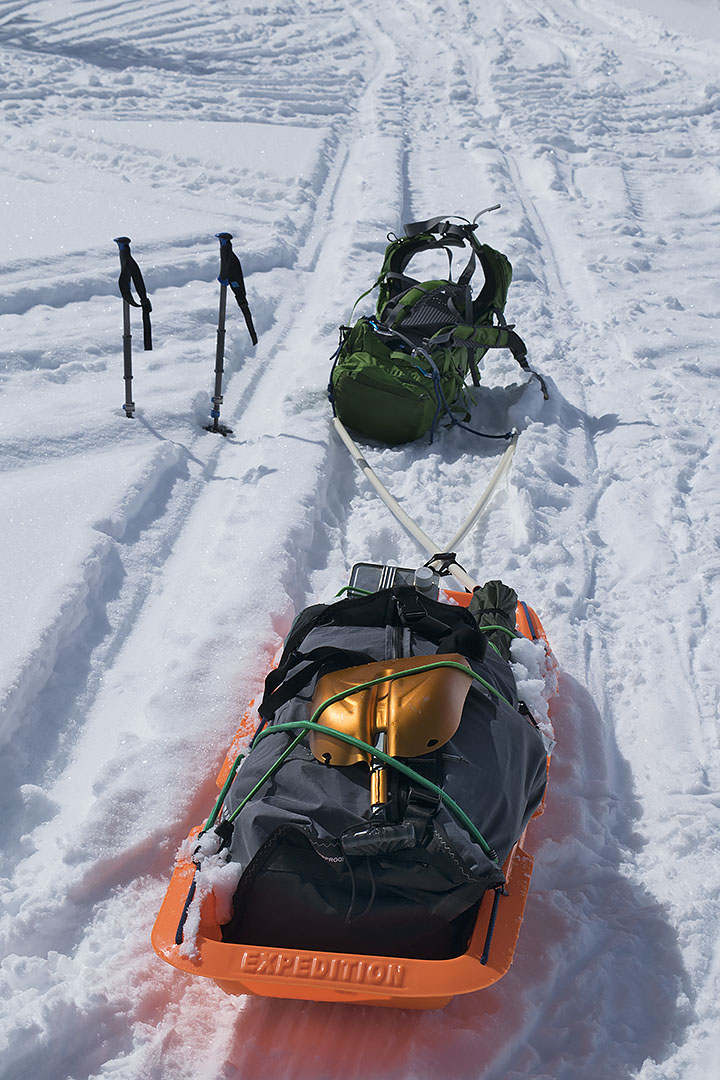
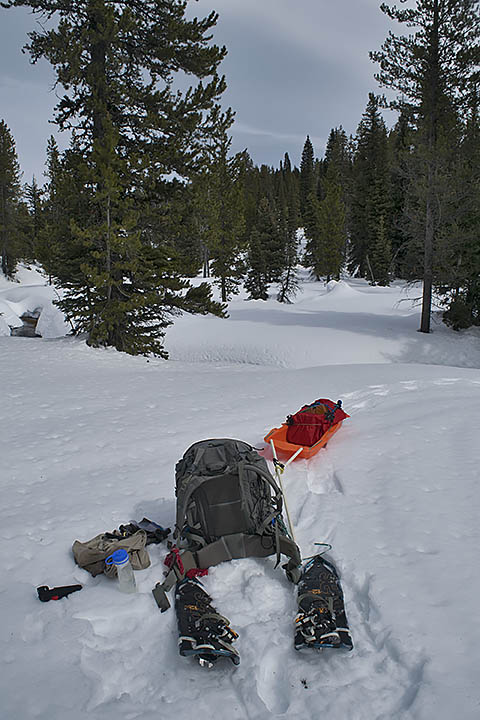
Snowshoes, backpack, and an expedition sled are used to travel on an eight-foot deep snowpack. Location was on a tributary of Odell Creek in the Centennial Mountains.
Now beyond the point where I could physically prepare for the trip, I nevertheless prepared to go anyway. My hope was that pulling a sled would make the trip possible. Without a training trip, something that is a necessity, I left a few days after March 1. It was a failure. I left again one week later. I exited this final trip after 12 days. I claimed that a mushy snowpack combined with the stolen resupplies stopped me. While those reasons were true, they were also not the complete story. Being ill prepared physically carried at least one third of the reason I failed.
What did come out of the winter of 2017 was the realization that with some exceptions, I would be able to use the expedition sled throughout the future trips.
Besides the sled use during most of the upcoming winter trips, another change will be the incorporation of a large summer trip, which will include my wife going with me. The trip will be in the Selway-Bitterroot Wilderness of Idaho and Montana. The distance will be approximately 160 miles, which will take approximately one month to complete. More on this trip later.
In the meantime, the physical training has begun afresh. What I have to mention about that is nothing, considering all it would be is under my breath groaning and grumbling.
British Antarctic explorer, Robert Falcon Scott and the two remaining members of his five-man Terra Nova Expedition, officially the British Antarctic Expedition team perished on March 29, 1912. Low on food and fuel, and 11 miles from their next resupply, a blizzard arrived. They were so weak the last day they traveled they only covered a couple miles before they hunkered down to wait out the storm. The wind blew for a week before they finally succumbed inside their tent.
In a winter setting, to manufacture heat a person needs numerous items such as shelter, cold weather gear, and two major items, calories and movement. Because at the last moment Scott decided to bring a fifth man, the Expedition only had 4500 calories available for each man per day rather than the original 6000 calories. That eventually slowed the expedition, which simultaneously made them more susceptible to the cold and harsh conditions, which in turn slowed them further. At some point, they were unable to move fast enough to manufacture heat, making them vulnerable to frostbite, which slowed the team even more. It was the classic snowball effect . . . no pun intended.
Their experience was similar to some of my own, except I am still alive, although not because I am better than they were. Au contraire, the only group of expeditioners I have read about that might have been tougher than the Scott bunch was Lewis and Clark’s Corp of Discovery, who probably never experienced temperatures colder than brief spurts of 40 degrees below zero Fahrenheit. For the Scott Expedition below zero temperatures were the norm.
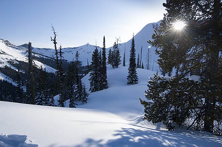
A winter sunset on the summit of Blodgett Pass in Montana and Idaho’s Selway-Bitterroot Wilderness.
On March 23, 2008, my first day in Idaho after summiting Blodgett Pass, another storm would arrive before the day’s end. This was Day-6 of the first leg in my attempt at a 106-mile double winter crossing in Montana and Idaho’s Selway-Bitterroot Wilderness. Moreover, today I was supposed to have arrived at the winter-closed Elk Summit Guard Station, where I hoped my nine-day resupply waited. After two nights of below zero temperatures, and sleeping cold in my mummy sleeping bag, I still had 13 miles to travel before arriving at my cache. Only, it had just taken 5 days to complete less than 11 miles, and by the end of this day I would be digging into my 3-day emergency food stores.
In the heavily forested region of the Big Sand Creek canyon, I stopped for a breather near the end of my freshly built trail through the snow. The last time I had eaten anything was at least six hours earlier. Out came the 2/3 empty bags of raisins, prunes and peanuts. Weak and tired, I desperately needed nourishment. Shaking, I fumbled the bag of peanuts, and then dropped it into the snow at my snowshoed feet. Some of the precious contents spilled into the partly stomped snow.
On March 23, 2008, during the descent into Big Sand Creek Canyon, in Idaho and Montana’s Selway-Bitterroot Wilderness, the storm arrived in the early evening.
Even in the pristine woods, I have a zero tolerance rule. Whatever lands on the ground stays on the ground. Not this time. By the sixth day of the trip, I finally realized that I was slowly starving to death. My backpack’s heavily padded waist belt, already cinched as tight as it could go, remained so loose that the pack was dropping off my hips and onto my shoulders. After a few moments of indecision, I stuck my fingers into the snowpack, retrieved and then ate the combination of peanuts and snow. The spilled contents totaled approximately 100 calories. However, I knew I needed everything I could eat, with nothing wasted.
For the next three nights before I arrived at Elk Summit, the temperature dropped below zero for two of them, and I was cold in my sleeping bag. After consuming approximately 3000 calories my first evening with the resupply, in spite of the raging storm that lasted until the middle of the following day, I slept warm and soundly through the night. Besides the continuing storm stopping me the next day, greatly weakened, I was in no condition to travel. I rested and kept eating for one day before continuing the trip. I also slept warm the second night at that camp, although once again the temperature was below zero.
Elk Summit Guard Station during the winter of 2008 in Idaho’s Clearwater National Forest. The second floor bedroom window is below eye level.
Like the Terra Nova Expedition, I had an underwhelming amount of calories for the task. My plan had been to travel the 25 miles to Elk Summit in six days. A few days before the trip began; a storm had dropped about one foot of powder snow on an already deep snowpack. I would endure two storms during the nine-day period, and then one at Elk Summit, and yet a fourth storm 48 hours later. As a result, there was no alternative but to build trail for 5.5 days before hefting my load of 80-95 pounds and carrying it to the end of each built segment. Through those 5 days, I averaged 1.7 miles of forward progress per day although I walked 5.1 miles. I had planned on four miles of forward progress per day. In short, during the first 9 days of the trip, I traveled an extra 18.7 miles getting only half of the calories that I needed. While I survived the mistake, would I learn from it?
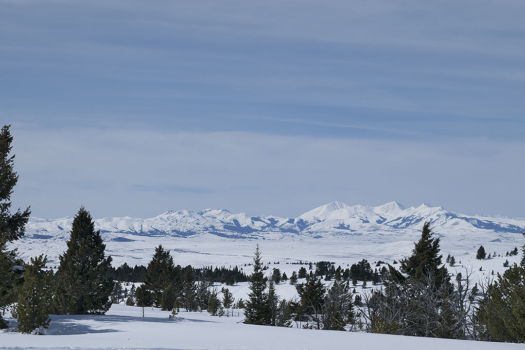
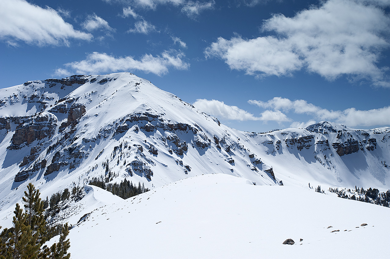
On Montana and Idaho’s portion of the Continental Divide, a winter view of Eastern Centennial Mountains viewed from Two Top Mountain in Henrys Lake Mountains.
Near the beginning of this winter’s travel on the Continental Divide, 48 miles is in the Centennial Mountains, 22 miles west of Yellowstone National Park. If the route is all powder snow, which I anticipate will be the case; my supplies dictate that my daily forward progress must be at least 2.09 miles. That is a greater average then when I was building trail during the first leg in Selway-Bitterroot Wilderness in 2008. There are some vital differences though. I am carrying an additional 2625 calories for each day, coupled with a load that is 15-30 pounds lighter.
The proper daily minimum amount is 6000 calories. Based on experience, in heavy powder conditions, I can anticipate my forward progress to be .33 miles per hour. Unfortunately, in a strong ascent, and there will be eight of them in the Centennial Mountains, I can consume 1000 calories per hour. Excluding the ascents, at 600 calories consumed per hour, I have enough food available to travel 7.5 hours per day, assuming I am physically fit. In addition, there are 1500 calories for my 18-hour camps. Since no one has ever traveled this route during the winter, only my upcoming experience will reveal whether I brought enough food.
Reading this, one may question why I failed to place more food on the route. Weight. In extreme winter conditions, there is a balance between how much I can carry and ideal calorie allowances. I suspect Scott decided on an extra man at the last moment because of the weight of the gear and food. Since I am traveling alone, there is no sharing the camp gear’s weight, or getting assistance building a trail through deep powder.
If four persons were traveling this route, consuming the same amount of calories as I, using the leapfrog method, they would be able to travel between 7 and 10 miles per day, all forward progress. Moreover, they would be less tired at the end of the day. That is important since winter is far less forgiving about mistakes or shoddy work. There can be no shortcuts when building a winter camp, which takes at least double the time of any other season.
Other factors will challenge the trip, such as blizzards (days of no travel), extreme cold, busted equipment, and missing resupplies. My biggest question remains to be whether I will have enough food and fuel for each leg of the 270-343 miles of travel.
During the winter of 2016, freshly socked in by a blizzard on an unnamed peak in Eastern Centennial Mountains. The wind had taken my tent a few hours earlier. After a futile search for it, I built a snowcave nearby and nearly died that night.
Note: because a strap broke on one of my snowshoes during the winter of 2008, seeking a replacement I briefly exited the trip 20 miles north of Elk Summit. My wife picked me up and we spent the first night in a nearby motel. In our room when I removed my shirt, she gasped and said I looked like a concentration camp victim. Apparently, for a short-lived period in 2008 I was very skinny.
Note two: after the Selway-Bitterroot trip was successfully completed, I reworked out the calorie numbers. I was shocked to discover that instead of approximately 5000, I only had 3375 calories available per day.
On the Continental Divide, Bald Peak (10,200 ft) in Henrys Lake Mountains, Idaho and Montana
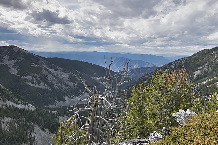
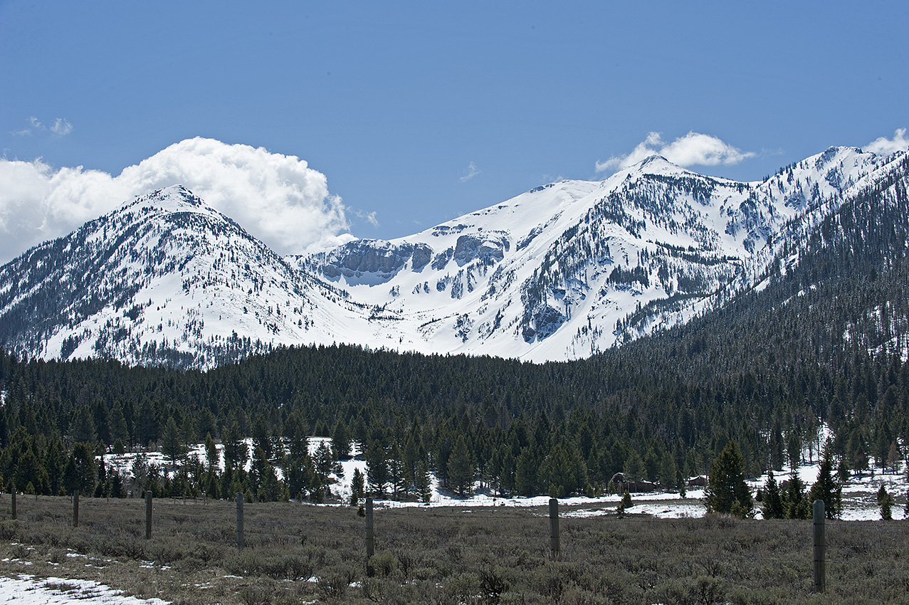
Bitterroot Range-Continental Divide in the Big Hole Valley
One of the main issues I am grappling with on the Continental Divide route, one that is only going to be behind me when I travel through the area, is the steep avalanche slopes in Henrys Lake Mountains (HLM), near West Yellowstone, Montana and Island Park, Idaho. One might expect that the Bitterroot Range, due to its much larger size of hundreds rather than 20 miles, would be far more vicious, which it would but for the powder prone snow of February when I will be in HLM. I will enter the Bitterroots in March and April, a time when the snowpack will likely have a crust to snowshoe on and a stable snowpack that is less prone to avalanche.
Traveling with a load of 90 and more pounds is no longer a viable alternative for this aging traveler.
Getting my load weight down is part of the key to a successful undertaking of HLM in February. However, if I remove too much food, fuel, or equipment, more than jeopardizing the trip with another failure, the question of survivability might arise. On the other hand, too much weight with backup supplies and equipment could make the already difficult ascents and descents impossible to get through in the deep powder of the higher elevations. In addition, the heavier the load the more prone I will be to injury during descents.
I love the challenge, to use what God has given me, the practiced brain, fit body, the incredible equipment, and afterwards should I fail, not blame God or anyone else. The challenge is to get it right before the trip begins, or close enough where I will only need to make small adjustments on the route to be successful.
In spite of my concern, the reality is that this area is only a sub-challenge, part of a series of confrontations that together make up the main event, over 300 miles of snowshoe travel, #WinterOnTheDivide.
The Centennial Mountains, located on the Continental Divide, 10 miles beyond Henrys Lake Mountains in Idaho and Montana.
Now down to mere days from venturing into Montana’s backcountry and beginning the winter training trips, which will eventually transpire into the actual Continental Divide trip, I am worried. Because of the sheer length of the trip, 418 miles, I will begin the trip 30 to 60 days earlier than the previous winter trips normal beginning near the end of February or beginning of March. For that reason, a crust on most of the snowpack is unlikely. Although wearing snowshoes, I may find myself pushing through powder snow for at least the first month and a half.
That is a problem. I will have to build a trail through the powder sans backpack, which interprets into three miles of travel for every mile of forward progress. I have plenty of experience that says under those conditions I will average one mile of forward progress every 2 ½ hours.
With only a 91-day supply for the entire trip, I have to average a minimum of 4.59 miles per day. In powder conditions that interprets into having to travel approximately 11 ½ hours per day, which is not going to happen.
Here is why. I have 6200 calories available per day. In a 12-hour camp, I will need at least 1200 calories. On the trail, I will consume a minimum of 800 calories per hour, which restricts me to traveling six hours per day. That interprets into 2.5 miles of forward progress each day while traveling in powder. Nor does this include the slower pace of the ascents inherent to mountain travel.
The distance between Raynolds and Monida Passes is 66 miles, which encompasses most of the Centennial Mountains, an area I will enter near Yellowstone National Park at the beginning of the trip. I will encounter powder snow throughout most if not all of these mountains. I have 18 days of food and fuel available for the area. For that reason, as I have already said, I am worried.
Last thing, this is a part of the adventure. I will need to find a way to overcome the problem, which by the way I am not waiting for God to solve. Without my cooperation, God does not perform miracles in the naked backcountry. The soon to begin 4 to 6 winter training trips, with a total of 29 days in the backcountry, will show me whether I have successfully surmounted the problem. There is no substitute for experience.
Mile Creek Canyon located on the west side of Henrys Lake Mountains in southwestern Montana. (Click on any picture for clear enlargement.)
Now the beginning of September, assembly of the caches or resupplies for the winter snowshoe trip of 2015-2016 have begun.
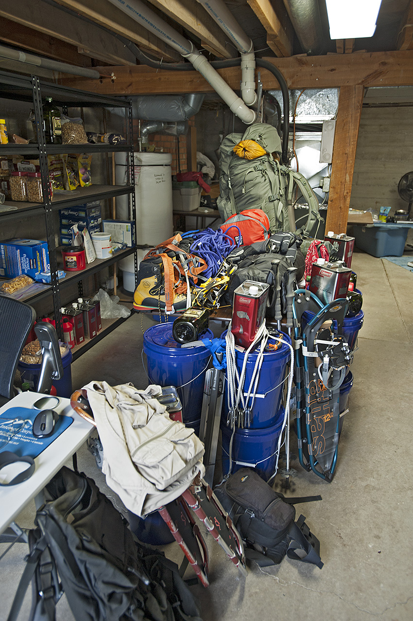
The gear and resupplies for the winter trips on the Continental Divide.
This is my third attempt at the first of three sections on the Continental Divide from the Wyoming border to the Canadian border in Glacier National Park. It is also the third time I have prepared resupplies for this area. Frankly, I have grown weary of placing the packages in the autumn only to retrieve them the following spring and early summer. With that said, numerous alterations continue with the resupplies, the load, and the trip itself. Here are the main changes.
• Continued to become more familiar with the route.
• Altered portions of the route to avoid bringing mountaineering gear.
• Shortened the distance for the upcoming winter.
• Made photography gear changes.
• Altered the food variety.
Camped on a saddle on the Continental Divide in Henrys Lake Mountains. Bald Peak (10,180 ft.) is in the background.
During the first days of June, on a receding snowpack I traveled in Henrys Lake Mountains. In July, I was in the southern portion of the Bitterroot Range near the Big Hole Valley. In August, I traveled in the Centennial Mountains. As a result, I altered three areas of the route.
Black Mountain (10,237 ft.) on the Continental Divide in Henrys Lake Mountains
Although it will still be necessary to bring mountaineering gear in Henrys Lake Mountains, I changed the route at two locations in an attempt to get through the most hazardous 15 miles of it with a greater margin of safety and perhaps more quickly.
Red Rock Mountain (9500 ft.) and Mt. Jefferson (10,203 ft.) in the Centennial Mountains.
While it may be a mistake, I will omit the mountaineering gear when I travel through 60 miles of the Centennial Mountains. Rather than an ascent between Red Rock Mountain (9500 ft.) and Mt. Jefferson(10,203 ft.), my route will take me through the much milder Hell Roaring Canyon two miles west of the original ascent, which is also where the official Continental Divide Trail (CDT) is located.
The view north of Goldstone Pass in the Bitterroot Range near the Big Hole Valley.
Approximately 150 miles later, in the southern Bitterroot Range, north of Goldstone Pass, and once again carrying mountaineering gear, I will drop off the Continental Divide and follow the summer route of the CDT. These changes combined will shorten the route by seven miles.
In addition, I shortened next winter’s overall route by 120 miles. Rather than attempt to arrive on Interstate Highway 15, 30 miles southwest of Butte Montana, I will stop at Chief Joseph Pass on Highway 43. The distance I will attempt to travel through one winter is now only 338 miles rather than the original 460 miles. It had been my intention for the last two winters to include the 60 miles of Anaconda-Pintler Wilderness (APW) during the latter part of the winter season when the snowpack is the most stable.
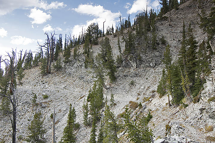
Goat Flat area and Storm Lake Pass in Anaconda-Pintler Wilderness.
The steep and treeless slopes of the APW are nothing to trifle with between January and March. Oh well, I suppose it will be good practice for when I return to Glacier National Park a few winters up the trail.
Over the last several years, I have been incrementally shedding my load of professional photography gear. This year I took what I consider a giant step in this area. I started carrying a consumer level camera and lens while still carrying a wide-angle professional lens. The weight of my camera gear dropped to five pounds. During the winter of 2006, I carried 16 pounds of camera gear. While I am unsure how this will turn out, if I am wrong I can always retrieve the pro gear at one of the four road crossings during the trip.
Through the last two winters, my heaviest loads were more than 100 pounds. This upcoming winter my heaviest load, which will occur only once along the route, should be less than 70 pounds. Unfortunately, it will happen in some of the most dangerous terrain of next winter’s travel, Henrys Lake Mountains.
Near Lionhead Mountain in Henrys Lake Mountains with a load approaching 100 pounds.
The changes in my food will not necessarily lower the weight of the load. Nevertheless, it has become necessary to do something different. The dehydrated food I have been using for almost 10 years turns my stomach. This year I have replaced it with four varieties of freeze-dried food. In addition to palatability, the freeze-dried food gives me increased calories and protein. Losing backpack weight, as necessary as it obviously has become, is a moot point if I do not have the energy to travel due to a lack of eating what is in the pack. I need a minimum of 6000 calories per day to sustain me for approximately 2.5 months of winter travel. My previous supplies failed to do that although there was always more than 5000 calories per day in the food bag. Hell, what good is a larder if I am unable to eat from it?
After the last two winters of failures, I have little doubt that the original 460 miles is out of reach in a single winter. Admittedly, this decision to shorten the distance comes with plenty of hesitation. What if, as remote as it might be, what if there are still three weeks of winter remaining when I arrive at Chief Joseph Pass?
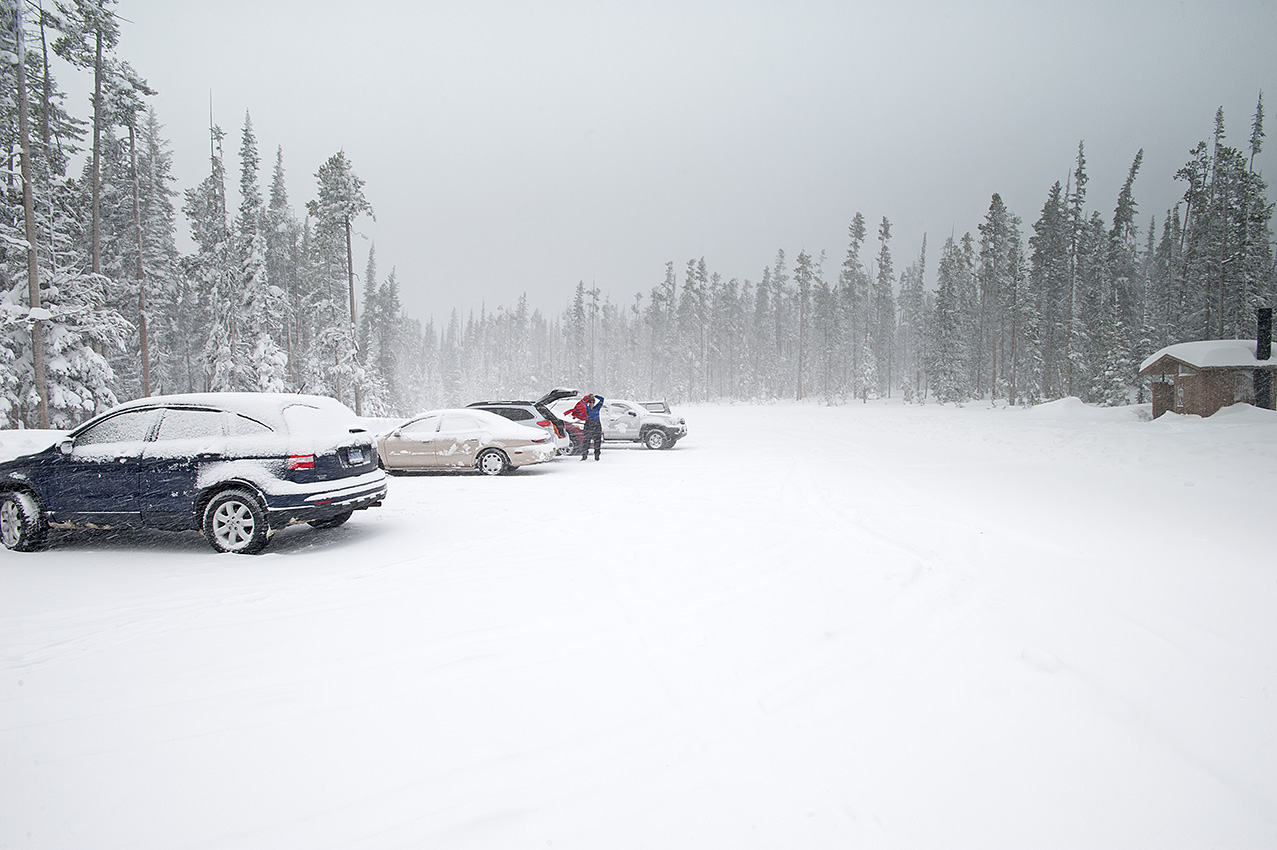
On December 21, 2014 in the parking lot of Chief Joseph Pass.
Hmmm, this is familiar ground; too often, I have bitten off more than I can chew. The last two winters have more than amply demonstrated that. The 338 miles will have to suffice.
Glacier National Park personnel repeatedly stated that during the winter the high mountain cirque, Hole in the Wall was inaccessible. They were almost right.
This is the story and photos of four trips that almost took the author’s life twice.