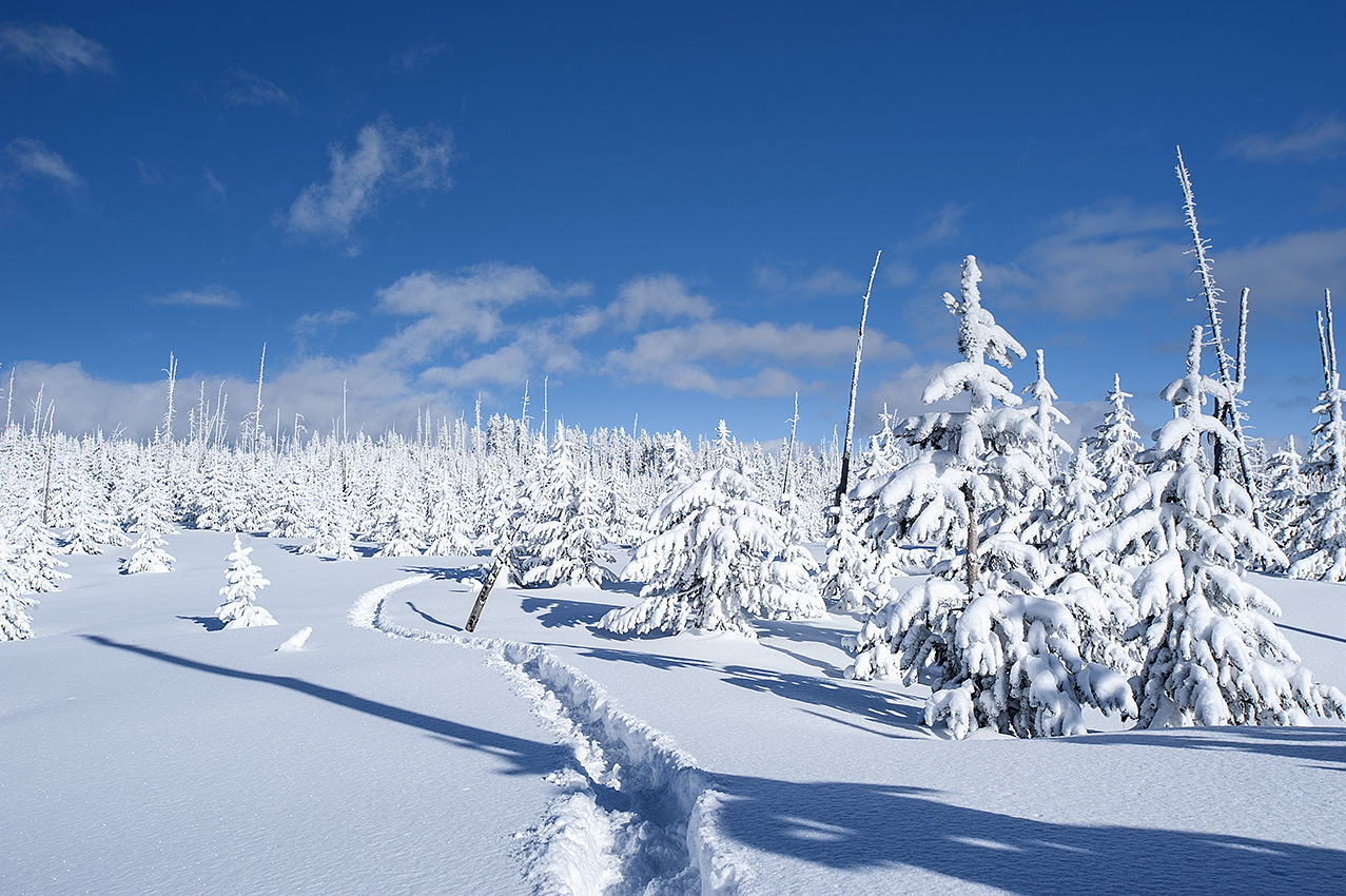
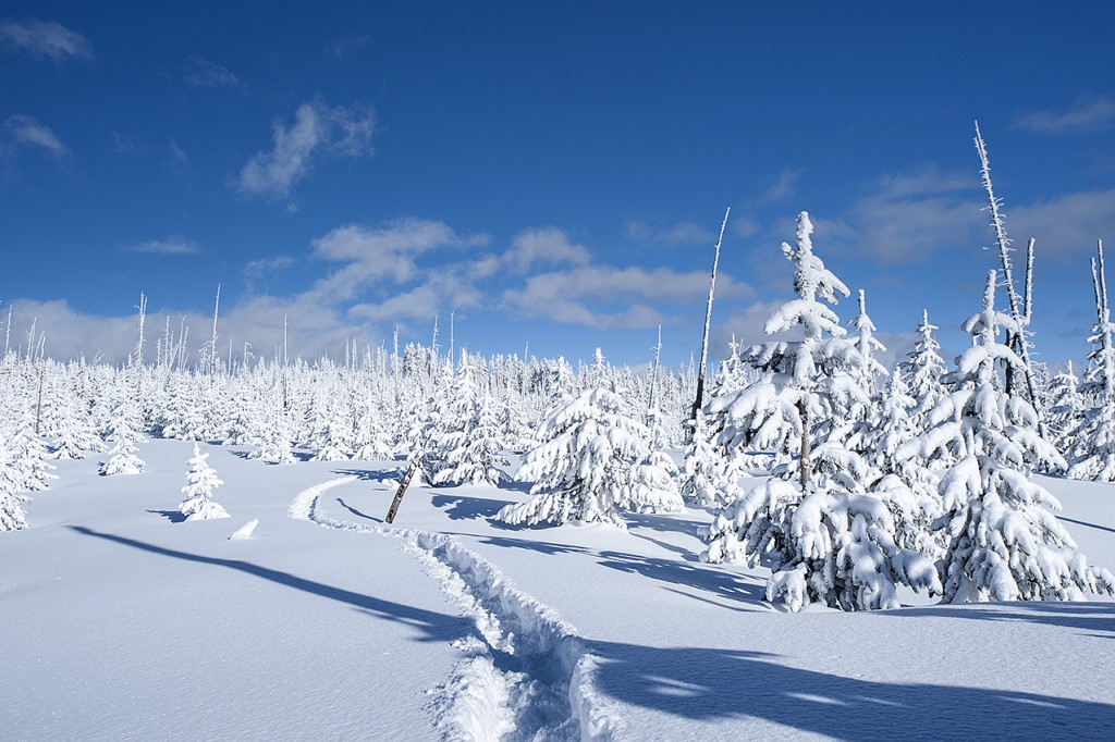
Gone are the mild temperatures and dry weather we experienced during the first third of December in Montana and Idaho, supplanted by two storms in the last week. In the extended weekly forecast, two more storms and subzero temperatures are approaching. Presently the avalanche warnings are out in force along the Montana and Idaho border west and south of Montana’s Bitterroot Valley.
With the starting date for the 460-mile Continental Divide trip being January 6, this weather is precariously close. If I have to contend with deep powder beginning on the Madison Plateau in Yellowstone National Park, I may delay the trip.
That 65 percent chance of a mild El Niño weather event beginning in January 2015, made public during the first week of December, is looking thinner with each passing day. El Niño in the area I will be traveling means warmer temperatures and less moisture. That interprets into less powder to push through while having a crust to walk on for much of the route. What is a certainty, traveling alone in deep powder that comes from a heavy snowstorm wavers between difficult, impossible, and hazardous. Besides the inability of getting more than three miles per day of forward progress in these conditions, there is the peril of avalanches.
On another seemingly unrelated subject, a few days ago, I visited Lost Trail Powder Mountain, a ski resort on Lost Trail Pass on the Montana and Idaho border, one mile west of Chief Joseph Pass and the Continental Divide. Observing the hundreds of skiers and snowboarders, the difference between how they view a steep mountainside as opposed to how I do, stood out starkly. I once heard that a rocket blasting a cargo into space was nothing more than a controlled explosion. As I watched the skiers and snowboarders, it occurred to me that they were enjoying something similar on the steep, but groomed mountainside. That is not the case with what I experience in the same winter wonderland. Short of exercising patience as nature performs its own time consuming grooming of the mountainsides, to continue forward progress I sometimes am faced with Mother Nature’s uncontrolled explosive might.
Another difference, and far more moving was what went on inside the resort’s toasty main building. Men, women, and children were visiting with each other, while drinking beer, a variety of soft drinks, sipping coffee, or even getting a drink out of a water fountain. They were ordering hamburgers, cheeseburgers, French fries, hot dogs and a variety of other delicious foods. The differences struck me hard.
It was like watching a movie about a war where the actors are never genuinely hurt or killed, while my memories of actual war are completely the opposite. Eventually I revisited the ski patrol building and said goodbye to my busy friend, a member of the patrol. He offered me a bed for the night, which I turned down without expressing a reason. I could not bear to tell him that something he loves so much was having such an adverse effect on me. With growing anxiety, I left the resort while simultaneously beginning to feel the loneliness that is in my inevitable near future, but maybe not as soon as I plan.
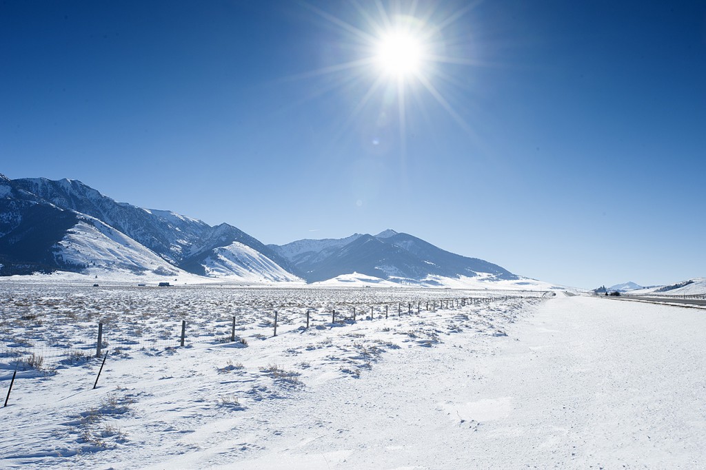
West of the Madison Plateau, beyond Targhee Pass, which is 50 miles into the trip, lies 15 miles of travel in Henrys Lake Mountains, and the first real threat for avalanches. With the amount of powder that is out there right now there will be no ascending or descending an avalanche slope. I will have to either wait or go around. Easier said than done, that latter alternative might prove to be impossible in the area around Targhee Divide and Black Mountain. Meanwhile the extended forecast calls for continued deep powder on the ground through at least December 29. The likelihood of having a crust to walk on eight days later is almost nil. With the Continental Divide trip a little over two weeks away, the chance of my leaving near the end of the first week of January is increasingly doubtful.
If I do travel under those conditions, to arrive at the Idaho, Montana, and Wyoming tri-border a five-mile round-trip in virgin powder, untouched by snowmobiles or grooming machines, will await me. I might need two days to complete this task, while with a strong crust; it is only a day hike. If this area requires me to travel in powder, I will have to bring extra food and fuel—more weight. A heavier load is synonymous to a slower and more difficult trip.
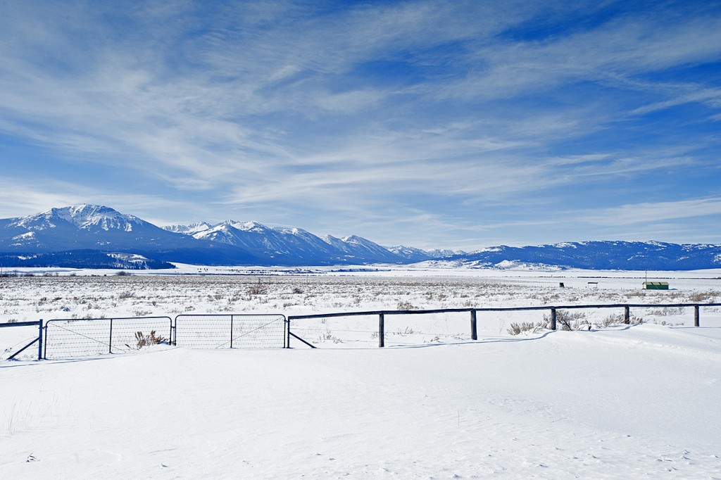
The upside of the area east of Targhee Pass is its lack of having any avalanche terrain. Nevertheless, during the 460-mile trip, 21 areas may require technical climbing gear. During those particular days, the measurement for my forward progress will be in feet rather than miles. If slowed in the less hazardous areas by powder snow, I may run out of food and fuel in some sections of the trip. In addition, to accommodate the inevitable storms there will be delays along the route and alterations that increase the distance of the trip.
If the reader is getting the impression that I am worried or afraid, make no mistake, you nailed it.
Addendum, December 29, 2014: the extended forecast calls for not only extreme arctic cold, but also a continuation of warmer and still subfreezing temperatures mixed with more snow. This forecast almost guarantees I will delay the main trip beyond January 6, 2015.

