To Snowshoe the Continental Divide in Montana

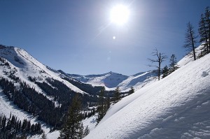
It was tough getting across the spine of the Bitterroot Range twice during the winter of 2008. Although the distance was approximately 140 miles and a La Niña weather pattern dominated the weather with continuous snowstorms, I had sufficient time to complete the trip. During the 40-day period between the middle of March to near the end of April, it nevertheless became clear that I was running out time. In the early morning hours, as I prepared for another day the effects of the previous day’s travel had me wrapped in a listless level of energy. While tempted to quit the trip at numerous points, I refused.
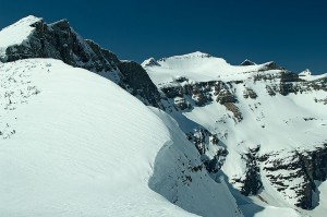
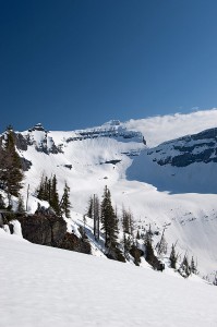
After completing the trip, troubled by this growing and incurable condition, I contemplated what, if anything I would do next. It was obvious that at 56 years of age, my days of expedition winter trips were numbered. In the spring of 2009, I finally decided that I would do one more trip, one that would put all my previous trips in the stands relegated to audience level. For years, the route had been whispering at me from the open maps. In a fog of unknowing however, it was a vaguely discernible monster. Big during the summer, during the winter it was huge and untried! For years, I had pretended its incongruous beckoning purpose was only there for me to ignore. Then in the first week of May that all changed. In a likeness to the prelude of so many previous winter trips, I pulled out the detailed topographic maps and went to work. Half a day later, the fog fed by ignorance, had dissipated enough for me to see. A winter trip on Montana’s share of the spine of the Rocky Mountains that is also the watershed for the Atlantic and Pacific Oceans, nearly 1000 miles of the Continental Divide, might be possible.

Growing up in the Bitterroot Valley, as the crow flies I lived approximately 40

miles northwest of the Continental Divide. Sitting in the backseat of a car, I crossed it for the first time during the summer of 1966 at Chief Joseph Pass. During the ensuing decades, I crossed it many more times while wearing a backpack. Sometimes I would travel for days repeatedly crisscrossing the divide. I stood on peaks that either were on the Continental Divide or overlooked it. With the passing years, I touched this spine in every season, sometimes for extended periods. My spotty experience with the divide eventually extended from the Canadian border to the Big Hole Valley. In retrospect, it is only now that I have begun to realize that the Continental Divide in varying degrees of intensity has been a part of my life for the better part of five decades. On that note, it is no longer a mystery to me that regardless of its overwhelming size, it remains the jumping board for my final winter expedition.

In the next four years, from 2013 to 2016 I will be traveling and therefore writing predominately about the Continental Divide of Wyoming, Idaho, Montana, and Canada. I am almost certain there will be no time remaining to focus on any other area during that time. I would like to add that it is also my desire that I get to complete the writing rather than someone else finishing it in my stead. While I have substantial experience with backcountry travel, including extended winter trips, realistically the trip may be non-survivable.


