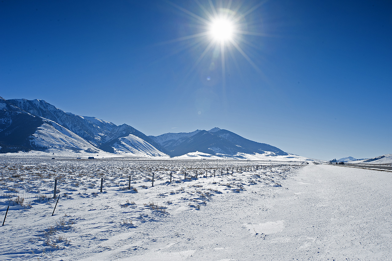
Now the beginning of September, assembly of the caches or resupplies for the winter snowshoe trip of 2015-2016 have begun.
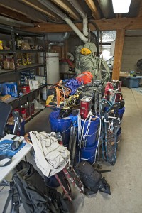
This is my third attempt at the first of three sections on the Continental Divide from the Wyoming border to the Canadian border in Glacier National Park. It is also the third time I have prepared resupplies for this area. Frankly, I have grown weary of placing the packages in the autumn only to retrieve them the following spring and early summer. With that said, numerous alterations continue with the resupplies, the load, and the trip itself. Here are the main changes.
• Continued to become more familiar with the route.
• Altered portions of the route to avoid bringing mountaineering gear.
• Shortened the distance for the upcoming winter.
• Made photography gear changes.
• Altered the food variety.
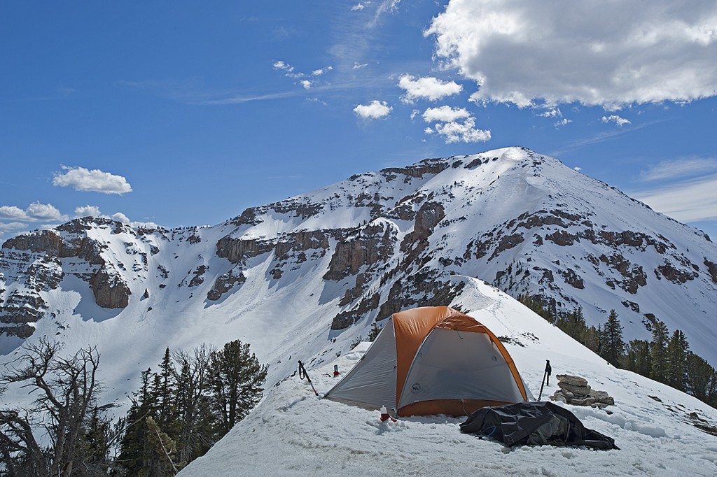
During the first days of June, on a receding snowpack I traveled in Henrys Lake Mountains. In July, I was in the southern portion of the Bitterroot Range near the Big Hole Valley. In August, I traveled in the Centennial Mountains. As a result, I altered three areas of the route.
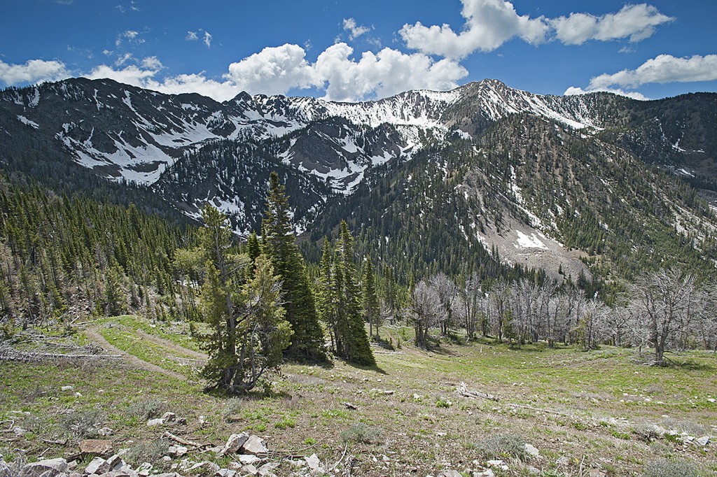
Although it will still be necessary to bring mountaineering gear in Henrys Lake Mountains, I changed the route at two locations in an attempt to get through the most hazardous 15 miles of it with a greater margin of safety and perhaps more quickly.
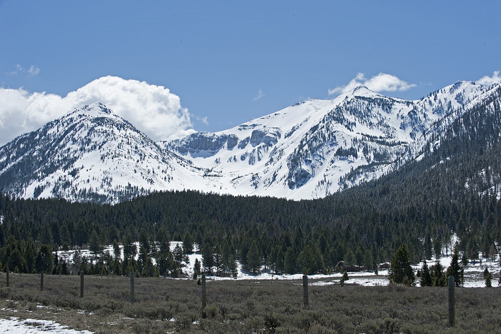
While it may be a mistake, I will omit the mountaineering gear when I travel through 60 miles of the Centennial Mountains. Rather than an ascent between Red Rock Mountain (9500 ft.) and Mt. Jefferson(10,203 ft.), my route will take me through the much milder Hell Roaring Canyon two miles west of the original ascent, which is also where the official Continental Divide Trail (CDT) is located.
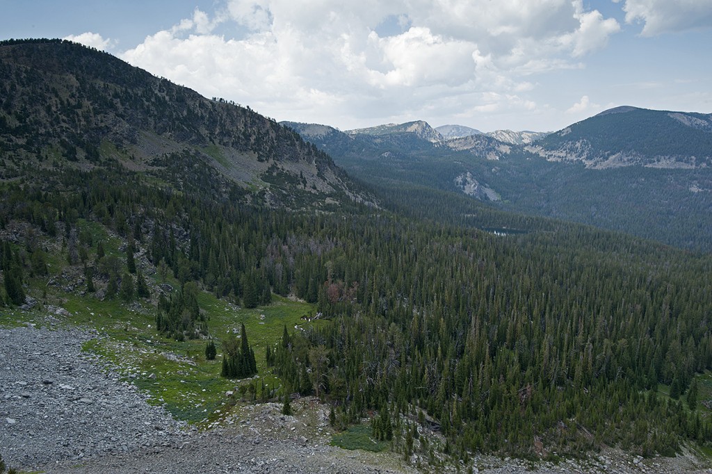
Approximately 150 miles later, in the southern Bitterroot Range, north of Goldstone Pass, and once again carrying mountaineering gear, I will drop off the Continental Divide and follow the summer route of the CDT. These changes combined will shorten the route by seven miles.
In addition, I shortened next winter’s overall route by 120 miles. Rather than attempt to arrive on Interstate Highway 15, 30 miles southwest of Butte Montana, I will stop at Chief Joseph Pass on Highway 43. The distance I will attempt to travel through one winter is now only 338 miles rather than the original 460 miles. It had been my intention for the last two winters to include the 60 miles of Anaconda-Pintler Wilderness (APW) during the latter part of the winter season when the snowpack is the most stable.
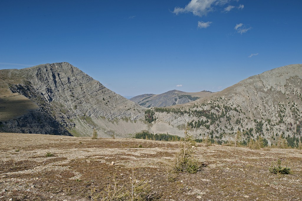
The steep and treeless slopes of the APW are nothing to trifle with between January and March. Oh well, I suppose it will be good practice for when I return to Glacier National Park a few winters up the trail.
Over the last several years, I have been incrementally shedding my load of professional photography gear. This year I took what I consider a giant step in this area. I started carrying a consumer level camera and lens while still carrying a wide-angle professional lens. The weight of my camera gear dropped to five pounds. During the winter of 2006, I carried 16 pounds of camera gear. While I am unsure how this will turn out, if I am wrong I can always retrieve the pro gear at one of the four road crossings during the trip.
Through the last two winters, my heaviest loads were more than 100 pounds. This upcoming winter my heaviest load, which will occur only once along the route, should be less than 70 pounds. Unfortunately, it will happen in some of the most dangerous terrain of next winter’s travel, Henrys Lake Mountains.
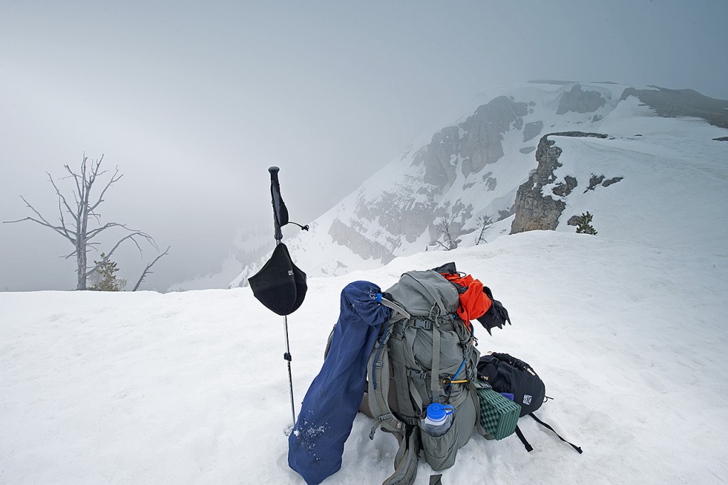
The changes in my food will not necessarily lower the weight of the load. Nevertheless, it has become necessary to do something different. The dehydrated food I have been using for almost 10 years turns my stomach. This year I have replaced it with four varieties of freeze-dried food. In addition to palatability, the freeze-dried food gives me increased calories and protein. Losing backpack weight, as necessary as it obviously has become, is a moot point if I do not have the energy to travel due to a lack of eating what is in the pack. I need a minimum of 6000 calories per day to sustain me for approximately 2.5 months of winter travel. My previous supplies failed to do that although there was always more than 5000 calories per day in the food bag. Hell, what good is a larder if I am unable to eat from it?
After the last two winters of failures, I have little doubt that the original 460 miles is out of reach in a single winter. Admittedly, this decision to shorten the distance comes with plenty of hesitation. What if, as remote as it might be, what if there are still three weeks of winter remaining when I arrive at Chief Joseph Pass?
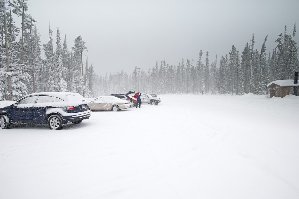
Hmmm, this is familiar ground; too often, I have bitten off more than I can chew. The last two winters have more than amply demonstrated that. The 338 miles will have to suffice.

