This morning, I am thinking about the two caches in Idaho near Gibbonsville. The number of hunters that were in that area when I placed the resupplies was an eye-opener, but not, apparently, enough to deter me from placing eight days of groceries and fuel up there. This close to December, it is likely too late to go verify they are still in place, unless it becomes a multi-night backcountry snowshoe trip.
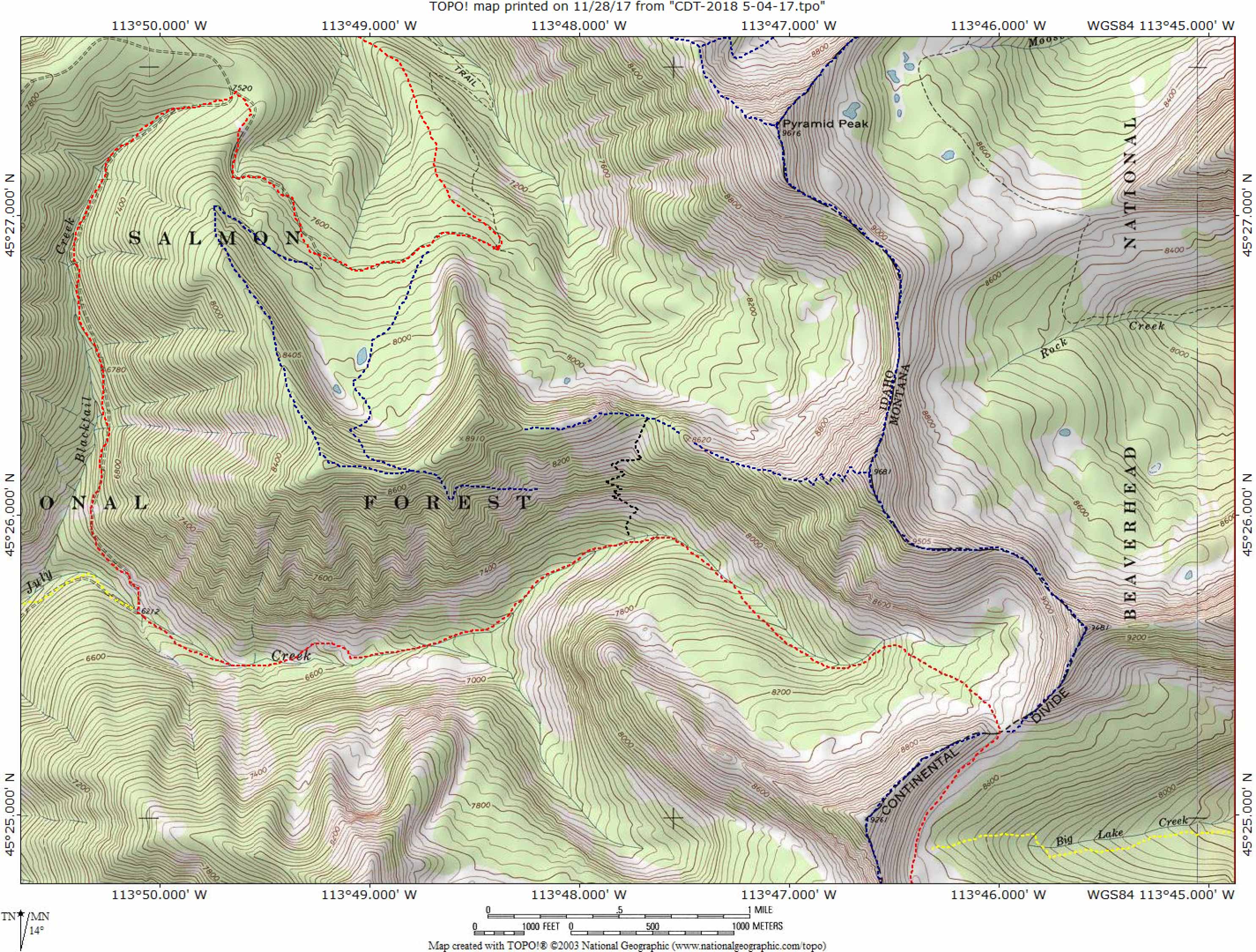
Here’s the issue; those caches are 220 miles beyond the beginning of this winter’s travel. Hell, I haven’t even left yet, and whether they are still hanging in their respective trees are weighing on me. Am I to resign myself to months of worrying? God knows, throughout the last three years, as many that have gone missing after I have hung them, this is a valid concern.
One other item, the distance to Chief Joseph Pass is 248 miles, this winter’s original goal. If I am able to get that far, it will be a wonder. Yet in October, I decided to tack on an additional 235 miles. Nope, 248 miles will have to suffice for this winter. There are far too many hazardous locations along the route, which coupled to the great unknown—weather; gives me plenty of opportunities to get into all kinds of trouble.
Back to the original topic, I will not be making that trip to investigate whether the two resupplies are still on location.
Umm, and I reserve the right to change my mind again.