I have expanded this winter’s snowshoe trip along the Continental Divide. As a result, rather than starting to travel in the beginning days of February, I plan to leave approximately December 1.
Starting on October 27, I hung six resupplies in the extended area, with a final five remaining to place. Out of these five, two will be in the Anaconda Range in the Mussigbrod and Johnson Lakes areas. More on these two a couple paragraphs from now. The other three will go into the area of Southwest Montana near Monida Pass. I will place these three as soon as I believe they will be safe from the autumn and early winter crowd, near the end of November.
After completing the final resupplies, I will build another 11. Of these, I will retrieve nine during the trip where the route intersects the winter maintained roads. The final two are spares.
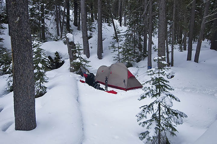
During November, I plan to take three training trips. The first, as always, is nothing more than a single night to check out the equipment–and me–for the multi-night trips that will take place soon afterwards. Unless the freshly fallen snow relinquishes its hold on the roads to Mussigbrod and Johnson Lakes Trailheads, one trip will be a 25-mile, 6-day journey, while the other is 12 miles for four days. I will place the two remaining caches for the Anaconda Range during these two trips.
Frankly, I am surprised at the level of winter we are experiencing this early here in Montana. Many years have elapsed since we encountered snow and cold at this level so early in November.
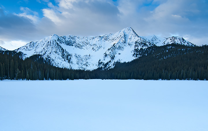
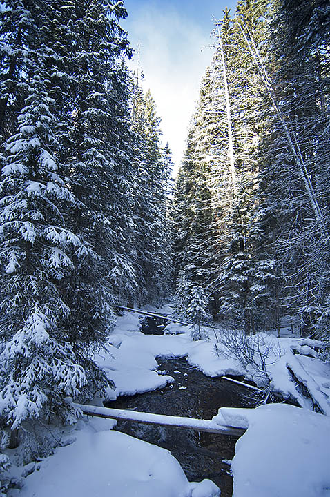
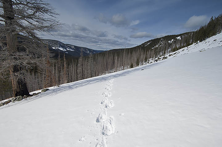
The photos I am showing are of another year in the Anaconda Range. The main photo is Johnson Lake while the others are from Falls Fork Rock Creek canyon, the western route to the lake. When I come through this area next winter, my route comes from the south on the other side of the mountain in the photo, East Pintler Peak (9486 ft.). The mountain skyline is the Continental Divide. When I arrive at the resupply in this area, behind me will be 289 miles of travel, with 190 miles remaining in front of me.
Last thoughts; I place these photos and explanations on this website and my Facebook page @AThousandMilesofWinter for those interested in my trip. Unless I ask for it, I am not open to advice. You can offer up hope, etc. You may even ask questions, which I will try to answer in a timely manner. Time grows short though. If you wish to help in some way, let me know, I will see if there is a fit for you somewhere. While I travel alone most of the time, no one takes a trip of this magnitude, unaided. My wife and others can handily verify that statement.
No, I did not forget. This winter’s attempted travel is 480 miles with supplies for 171 days, approximately half the distance to the Canadian border. I plan to complete this segment by mid-April. The food amount does not synchronize with the days between December and April. There is a reason for the excess. In the second paragraph, I hinted about this. Not all of my resupplies are going to survive the autumn hunting season. In addition, it is impossible to know where or for how long the storms will force me to hunker down. What I do know is that I still have to eat and burn gasoline for water when I am not moving.