Posted on Leave a comment

The Hazardous Travel on Soft Snowpack

A plunge through the snowpack

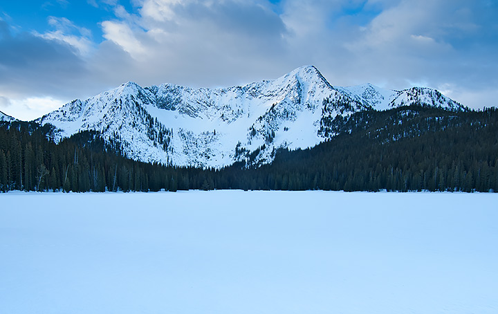
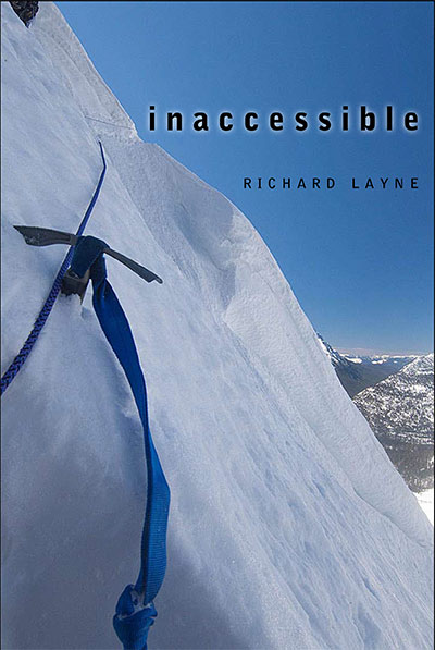
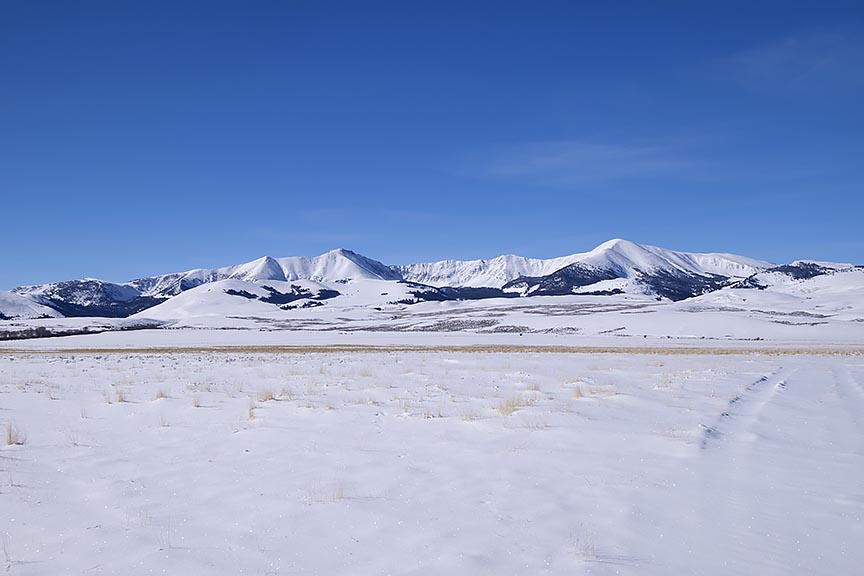
While the snowpack on the Continental Divide in the Bitterroot Range of Montana and Idaho remains soft, change is in the works. With the more direct rays of the mid-March sun coupled with a forecast in the next seven days of warming temperatures, a crust is finally going to form on the surface. That means I will be able to travel with lessening danger of breaking through the surface of the snow.

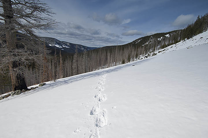
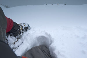
Because I travel alone during the winter, conservative actions are essential. That means I should take no chances in the many feet of deep snowpack with anything less than a strong crust. The snowpack needs to carry my weight and a large backpack, in addition to pulling a sled. While wearing snowshoes, a deep plunge through the snow with a load can blowout joints and even break bones. An accident like this can happen even on a flat, but is particularly hazardous in a descent. In addition, if the crust is just barely strong enough to carry my weight, that is synonymous to more plunging in an ascent, making the climb impossible to complete without breaking the load down and ferrying my gear and supplies to the top of the hill/mountain. Need I say that there is no joy in that type of travel?

A weak crust, this area of the Centennial Mountains was fine for travel until I began a small ascent. A snowshoe broke through, and the rest of my body dropped through the snowpack.

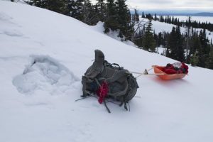
Powder snow or a weak crust is tough to travel through, impossible on a long haul, and nearly so when only going out for two or three days. In the next 60 days, I plan to exit three times for two days each over a distance of 203 miles. The rest of the time, I will be ascending and descending continuously, doing push back on the cold while evading the Continental Divide’s windy storms and the consequential avalanche zones. The last thing I need is to go out on a snowpack that will not hold approximately 300 pounds of weight.

Posted on Leave a comment

Continental Divide, Winter of 2018

I have expanded this winter’s snowshoe trip along the Continental Divide. As a result, rather than starting to travel in the beginning days of February, I plan to leave approximately December 1.

Starting on October 27, I hung six resupplies in the extended area, with a final five remaining to place. Out of these five, two will be in the Anaconda Range in the Mussigbrod and Johnson Lakes areas. More on these two a couple paragraphs from now. The other three will go into the area of Southwest Montana near Monida Pass. I will place these three as soon as I believe they will be safe from the autumn and early winter crowd, near the end of November.

After completing the final resupplies, I will build another 11.  Of these, I will retrieve nine during the trip where the route intersects the winter maintained roads. The final two are spares.

Falls Fork Rock Creek, Anaconda Range, Montana

During November, I plan to take three training trips. The first, as always, is nothing more than a single night to check out the equipment–and me–for the multi-night trips that will take place soon afterwards. Unless the freshly fallen snow relinquishes its hold on the roads to Mussigbrod and Johnson Lakes Trailheads, one trip will be a 25-mile, 6-day journey, while the other is 12 miles for four days. I will place the two remaining caches for the Anaconda Range during these two trips.

Frankly, I am surprised at the level of winter we are experiencing this early here in Montana. Many years have elapsed since we encountered snow and cold at this level so early in November.

The photos I am showing are of another year in the Anaconda Range. The main photo is Johnson Lake while the others are from Falls Fork Rock Creek canyon, the western route to the lake. When I come through this area next winter, my route comes from the south on the other side of the mountain in the photo, East Pintler Peak (9486 ft.). The mountain skyline is the Continental Divide. When I arrive at the resupply in this area, behind me will be 289 miles of travel, with 190 miles remaining in front of me.

Last thoughts; I place these photos and explanations on this website and my Facebook page @AThousandMilesofWinter for those interested in my trip. Unless I ask for it, I am not open to advice. You can offer up hope, etc. You may even ask questions, which I will try to answer in a timely manner. Time grows short though. If you wish to help in some way, let me know, I will see if there is a fit for you somewhere. While I travel alone most of the time, no one takes a trip of this magnitude, unaided. My wife and others can handily verify that statement.

Crusted snow on the south face of a canyon wall, Anaconda Range, Montana.

No, I did not forget. This winter’s attempted travel is 480 miles with supplies for 171 days, approximately half the distance to the Canadian border. I plan to complete this segment by mid-April. The food amount does not synchronize with the days between December and April. There is a reason for the excess. In the second paragraph, I hinted about this. Not all of my resupplies are going to survive the autumn hunting season. In addition, it is impossible to know where or for how long the storms will force me to hunker down. What I do know is that I still have to eat and burn gasoline for water when I am not moving.

A camp in the Falls Fork Rock Creek canyon, Anaconda-Pintler Wilderness.