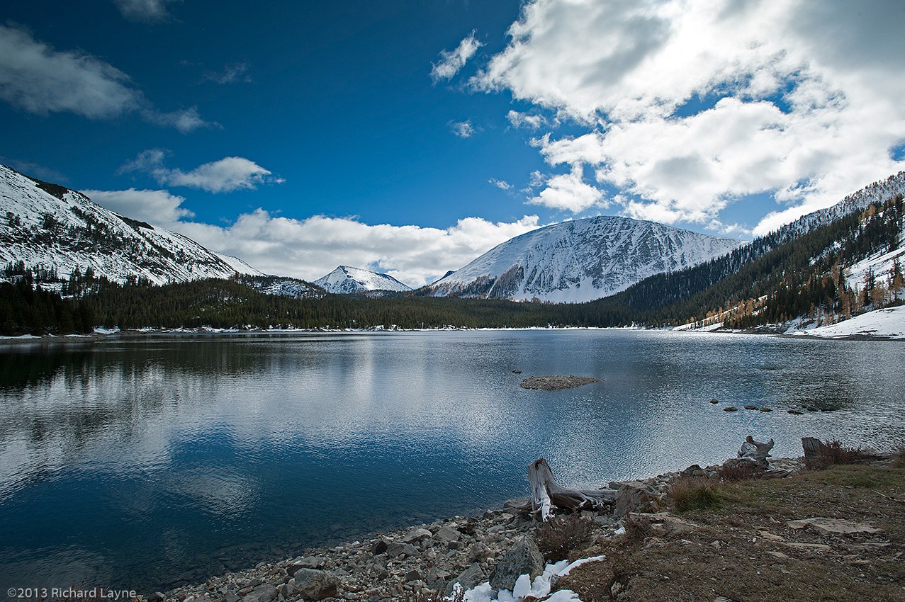


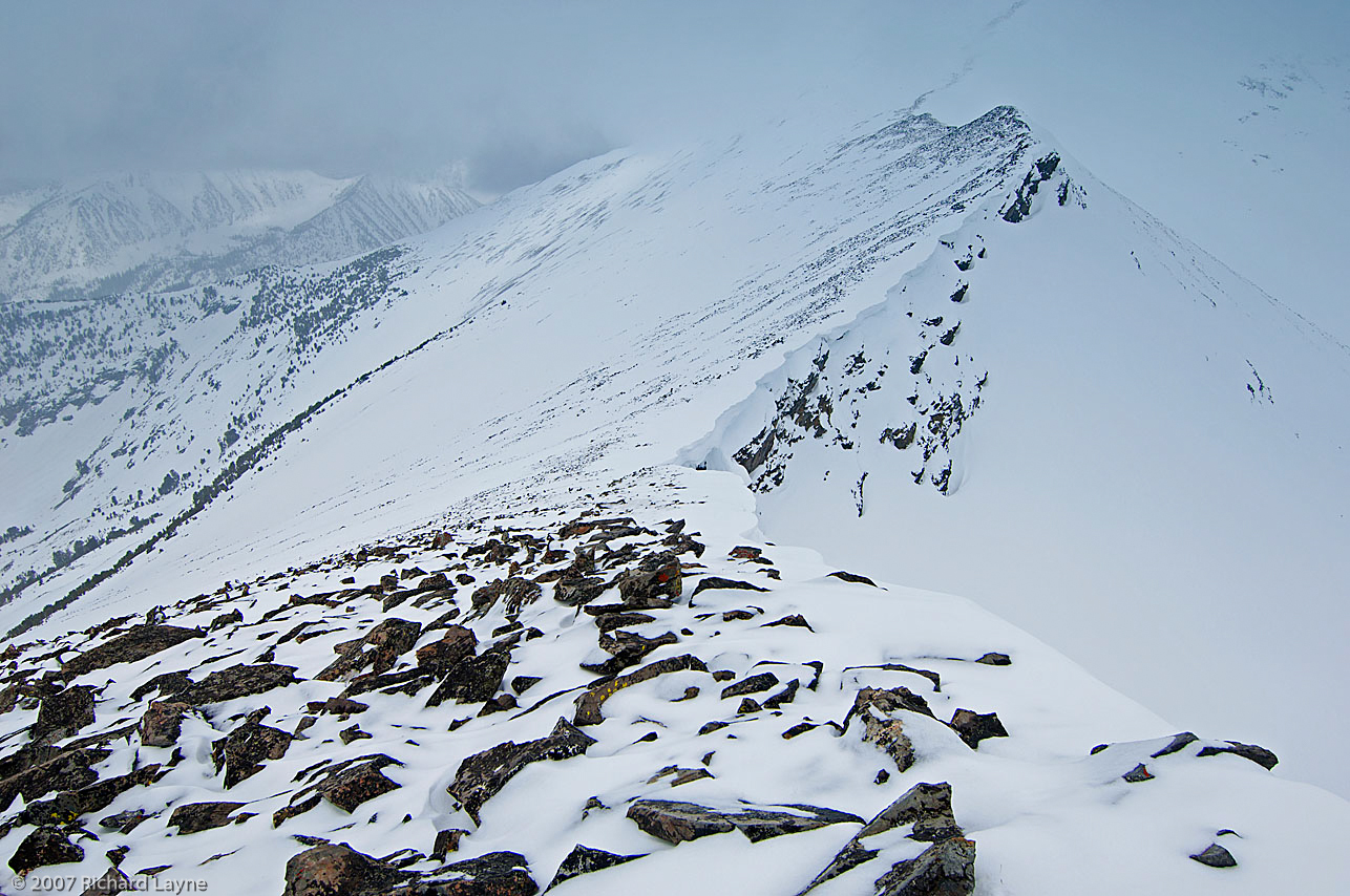
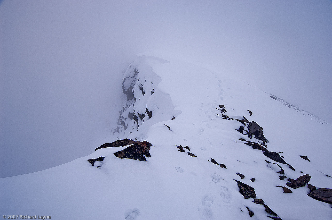
 is the tallest peak inside the Anaconda-Pintlar Wilderness of Montana. The brazen effect of the wind above timberline is obvious, while at the same time very beautiful.")
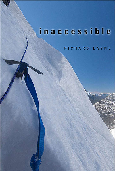
On March 17, 2014, I will attempt to continue snowshoeing along Montana’s portion of the Continental Divide. The trip began on February 1 and abruptly ended on February 6 with the snowmobile ride to West Yellowstone, Montana. There were a number of reasons for the exit, any one of which would have required my postponement of the trip.
- The yet to be resolved issue of whether I had high-altitude sickness or carbon monoxide poisoning. Since I was at the elevation of 8200 feet for most of those days, I am leaning toward the carbon monoxide poisoning.
- I was not in good enough shape to carry the nearly 100-pound load.
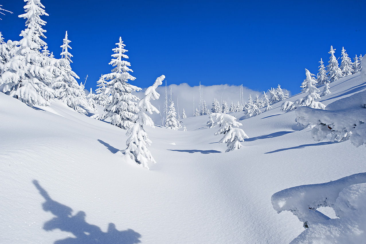
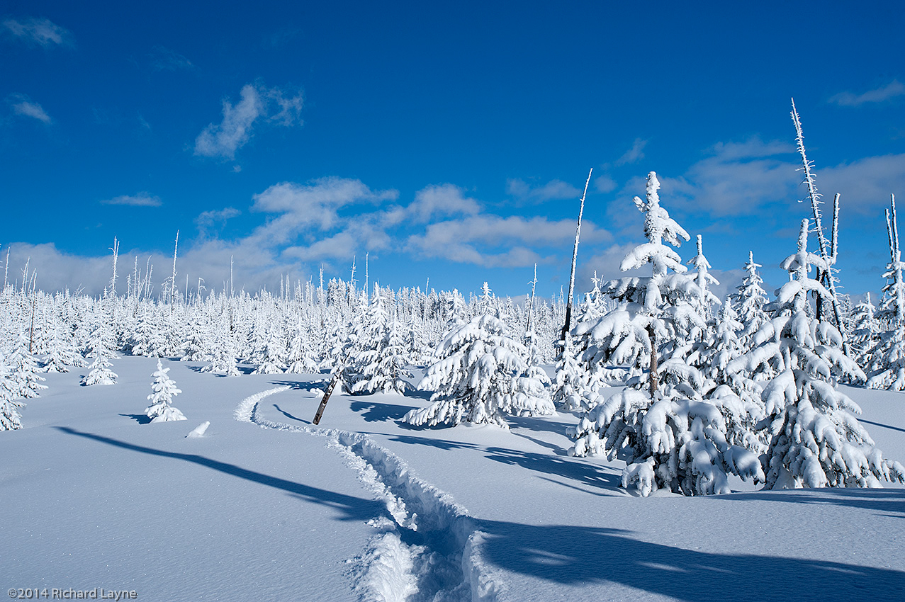
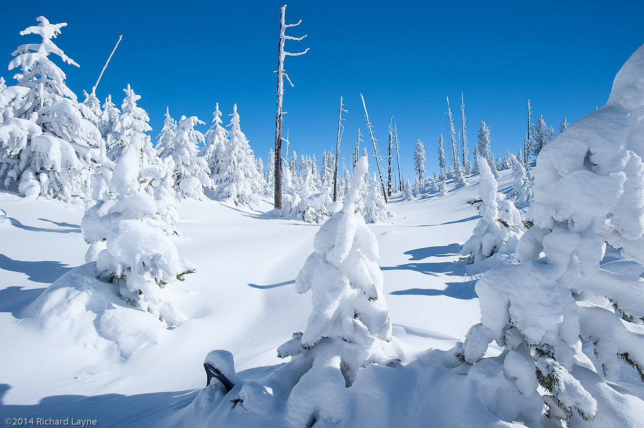
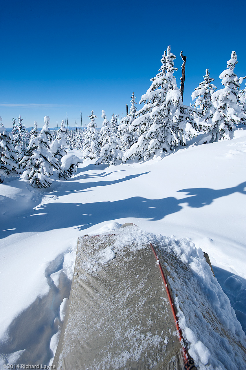
- Snowstorms in February dropped exorbitant amounts of powder snow, which from the outset prevented my movement in spite of the large backcountry snowshoes I use.
Because I will begin traveling from Macks Inn, Idaho, there is now an additional 15 miles. However, I may alter the route further on in the Eastern Centennial Mountains that will undo the extra miles. With that said, I still have approximately 462 miles to attempt to complete no later than the middle of May. With at least a 70-pound load, it is unlikely I will complete that distance in 60 days. I would have to maintain a daily average of 7.7 miles. The more realistic average will be five miles per day for the first 30 days and possibly eight miles per day for the second 30 days.
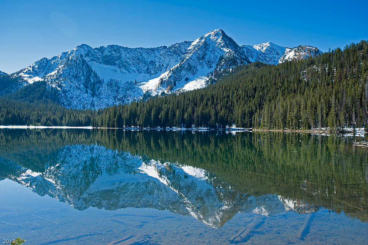
Coming up short could be a blessing though. With the above average snowpack in the Anaconda-Pintler Wilderness, the last segment I will travel through this winter, after the middle of April and into May the raging spring avalanches could be fatal. Less than seven days ago, the National Oceanic and Atmospheric Administration (NOAA) predicted a possible El Niño weather pattern for this year. Where the Continental Divide in Montana is concerned, that interprets into a low snowpack and warmer temperatures for next winter, something I would much prefer while traveling through the Anaconda-Pintler Wilderness.
Having lost 1 ½ months of travel time, in an attempt to increase my pace to a five mile per day average, I have lowered the backpack’s weight to below 75 pounds. West of Monida Pass and along the Southern Bitterroot Range, I will try to increase the daily distance to 10 miles per day. Once I arrive at the Anaconda-Pintler Wilderness however, this level of mileage will be impossible.
Because the travel will be half again to double the normal pace, I will only need one-half to three quarters of the caches along the route. A four-day cache with an allotment of 7150 calories per day will now become an approximate eight-day supply. That means, barring any delays, there are far more supplies along the route then I can possibly consume. In short, a lighter load to carry.
Although it will increase the peril of the trip, with the exception of the crampons and ice ax, the climbing gear will remain behind. Additionally, I will no longer need the heavier sleeping gear that protects me from prolonged winter travel combined with temperatures down to 40 degrees below zero Fahrenheit.
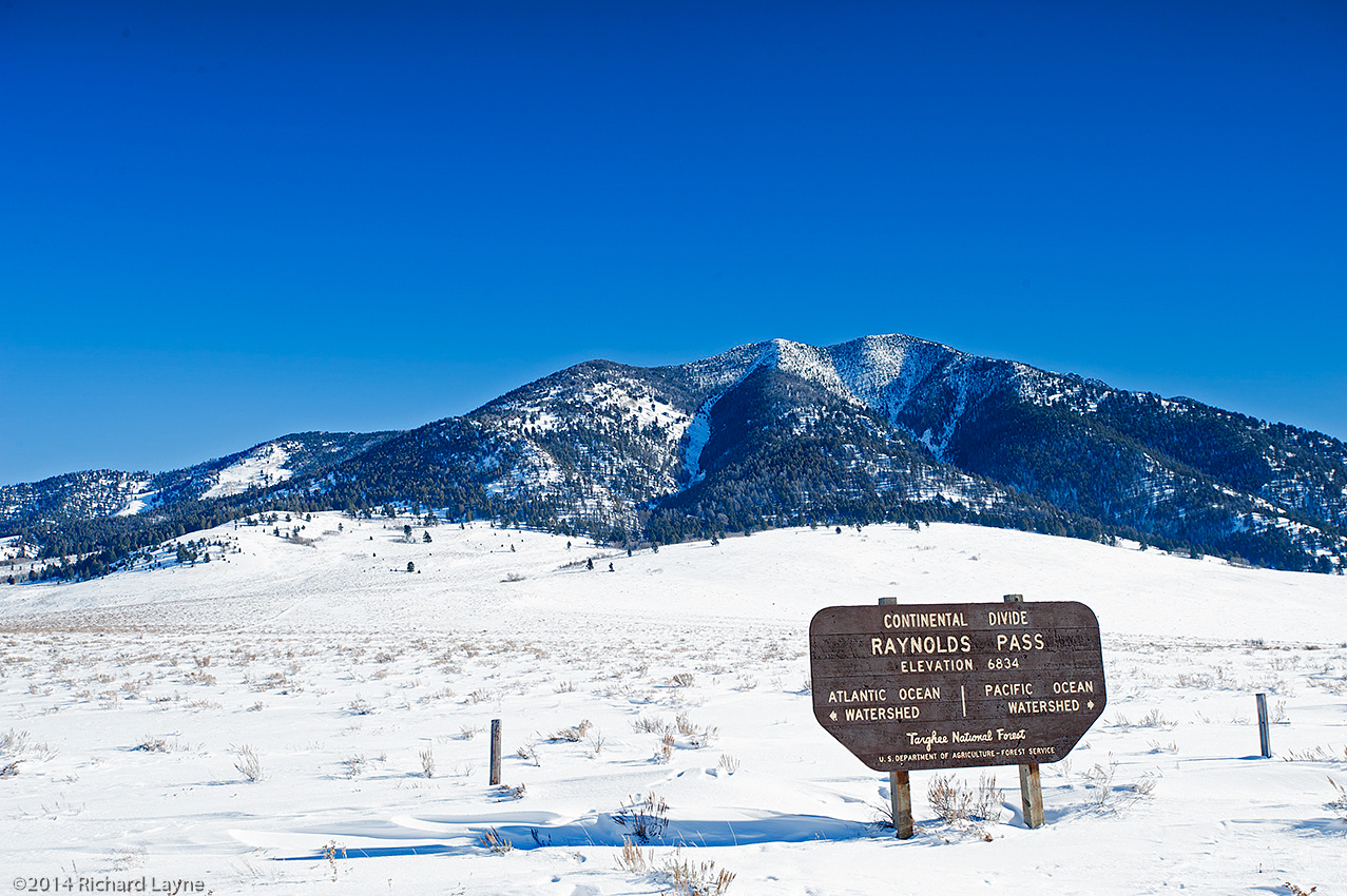
Meanwhile battery power for my equipment continues to be an issue. For that reason, using the personal locator device I will only send a progress report once a day to Facebook and Twitter. I will also exit overnight at Raynolds Pass, 63 miles into the trip, Monida Pass at 149 miles, and Chief Joseph Pass at 351 miles each to upload files and recharge the batteries. By leaving three camera batteries behind, I will save 17 ounces, but lose half of my ability to take 4800 digital captures. Finally, I will carry less AA and AAA batteries for such equipment as my head lantern.