Posted on 4 Comments

The Hazards of Autumn’s Winter

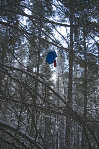
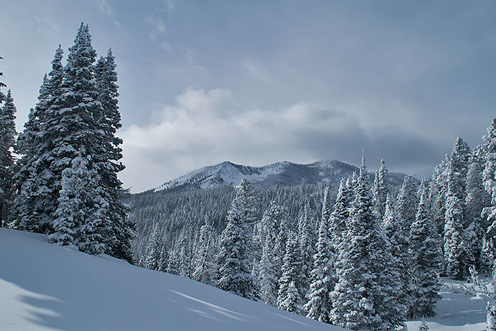
Every season in every year has its own flavor, and though still early, 2019’s autumn is no exception. About one week after the official arrival of autumn in September there came an early winter storm. In my own backyard located in Helena Montana, the storm dropped eight inches of snow. No record, but eventful. Knowing the forecast, in an overnight trip before the weather arrived I hurriedly drove to an area on the Continental Divide and placed four resupplies for this upcoming winter’s trip. I was back home 48 hours before the storm dropped in on us.

I waited one week before I resumed placing more resupplies. On October 5, the day I left I got one final forecast. I knew that a small and quick weather front that contained a mixture of rain and snow was coming Tuesday evening and Wednesday, replaced by sunshine and warming temperatures by Thursday. Despite the mud, I figured that I would be able to ride out this storm on the Divide while it passed through. I was wrong. On Monday, Carleen sent a message informing me of the drastic change in the forecast. The pervading thought was that perhaps I had better drop to a lower altitude. As a result, on the third night I stayed in Lima at the Mountain View Motel’s RV campground. The next day showed a forecast with much more deterioration of the weather. That is when I decided to ride out the storm in the TV room at home. As it turned out, my latest revised plan was a good one. We got another eight inches of snow in the backyard, this time with single digit temperatures. At some locations in our state, the temperatures dropped below 0°F.

While I am set up to handle a storm of this magnitude in the backcountry, my head was nowhere near ready. Not after what happened during the second trip on Saturday and Sunday, and to a lesser degree, Monday.
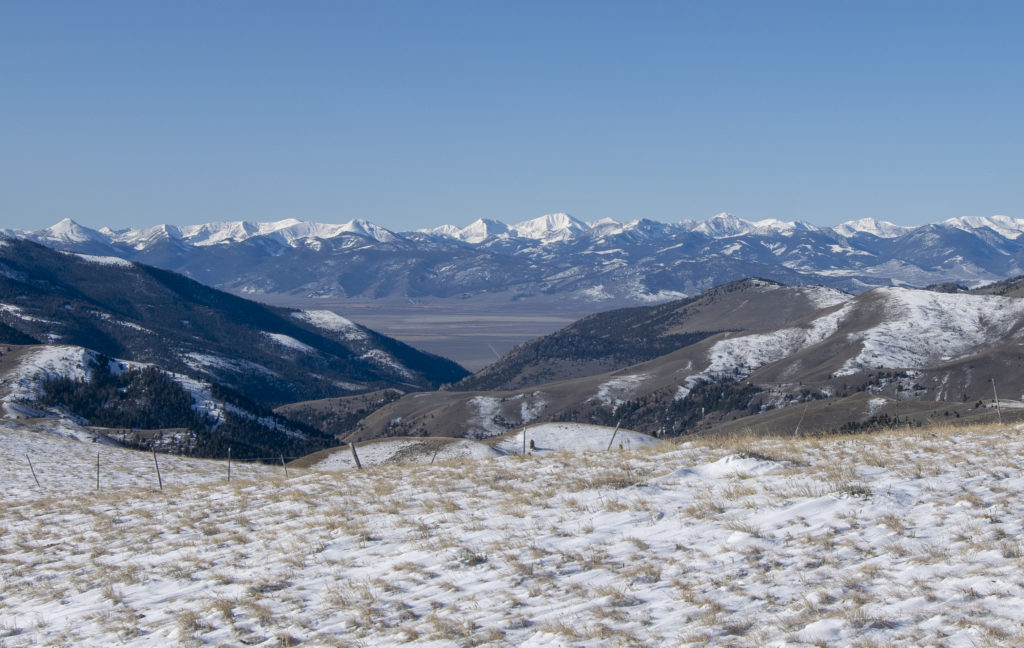
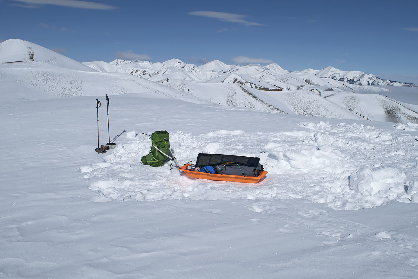
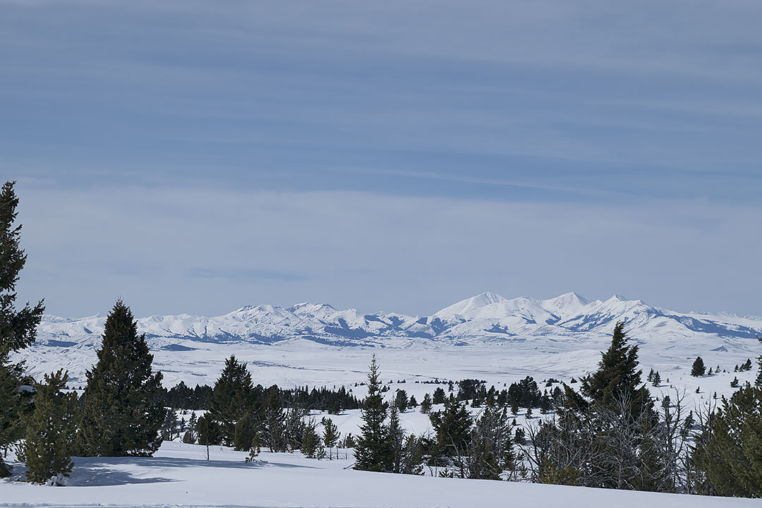
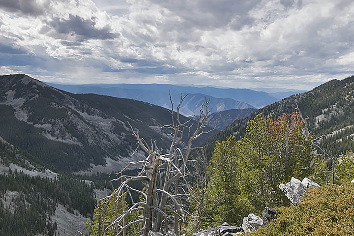
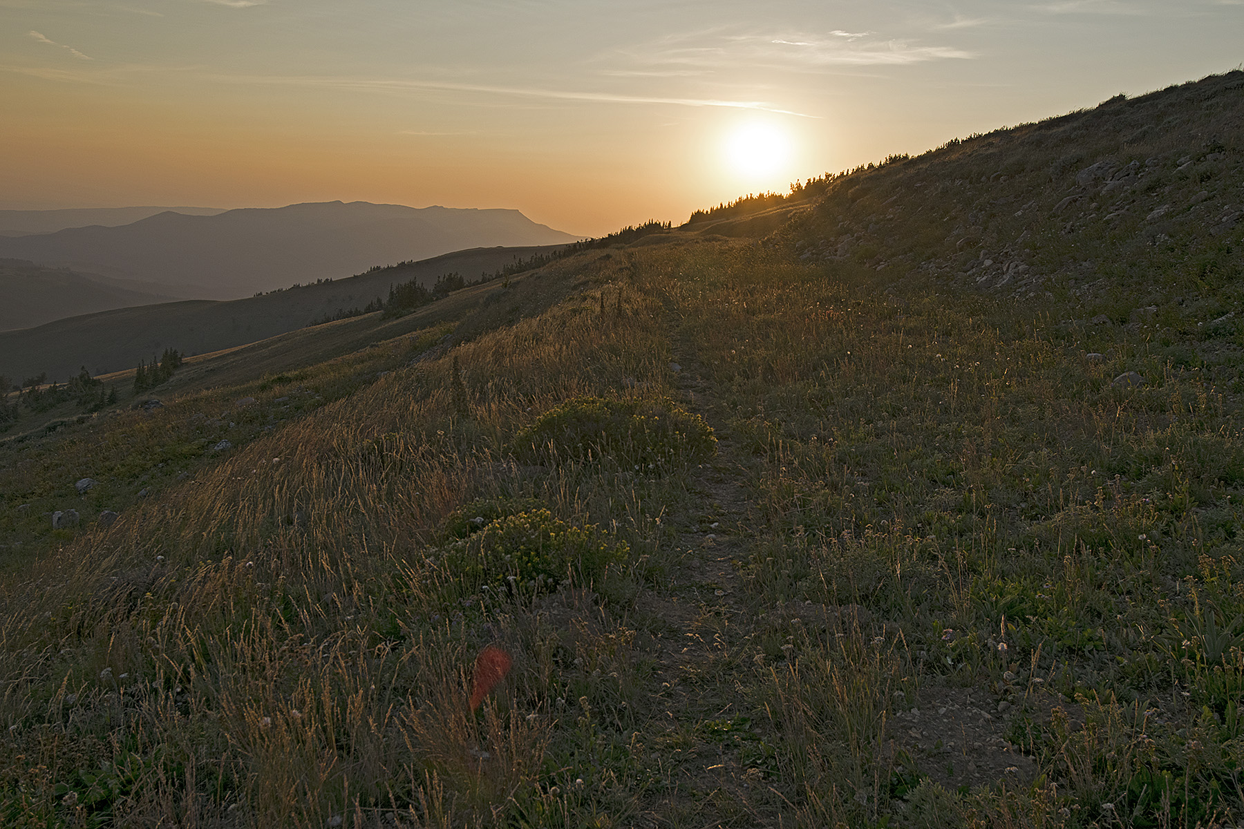
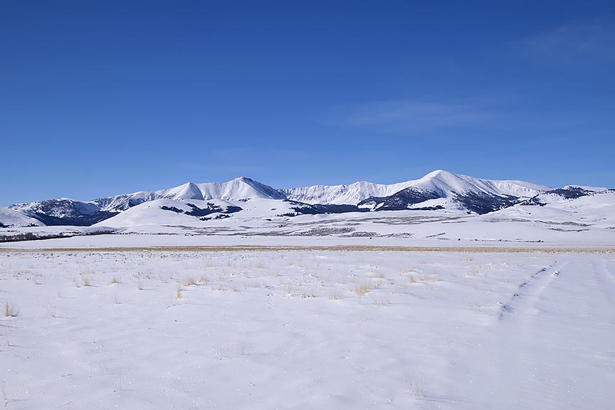
From a windswept ridgeline on the Continental Divide, Idaho’s Lemhi Range and Valley can be easily seen.

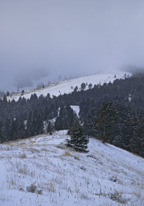
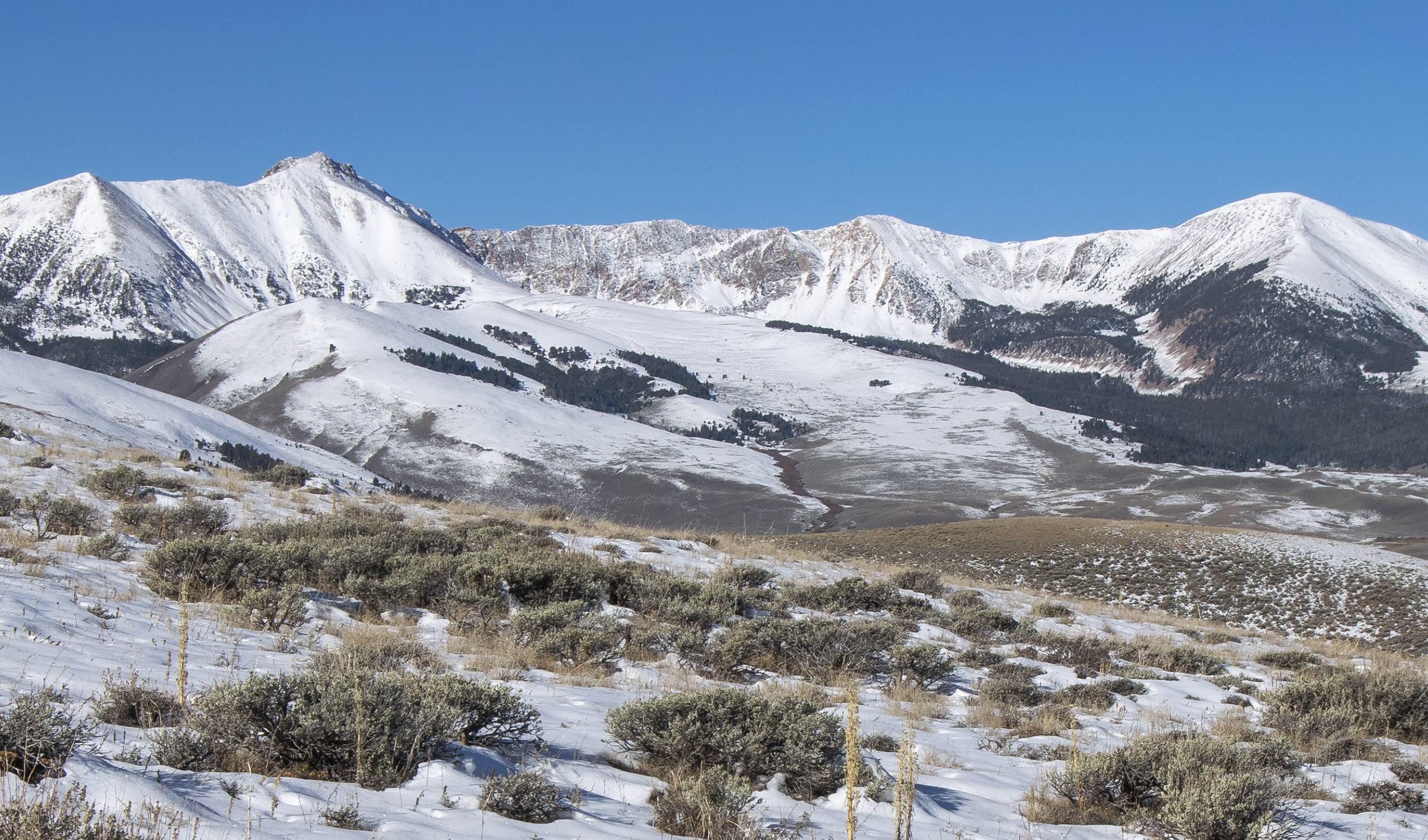
My plan for placing the resupplies during the second trip was to begin at the most remote location of next winter’s route, which was near the south side of Elk Mountain 10 miles north of Morrison Lake in Southwest Montana. Shortly before arriving on the Continental Divide, I left the mud behind, replaced by snowpack from the first storm. The almost treeless rolling hills were numerous. There were 13 of them, most with a snowdrift near the bottom of each north face. Because I was going downhill each time I encountered these wind driven piles of snow, I readily blasted through them with my camper equipped four-wheel drive pickup. I suppose I was fortunate though. The largest descent, approximately 600 feet had a rather small snowdrift, easily gotten through. Unfortunately, the tires lost their grip off and on throughout the descent.

Each north face brought increasing worry. This route was also my exit, and the crosswind that created the snowdrifts in the first place continued unabated.

In the early evening, I had been busting through the snowdrifts for approximately one hour when I arrived on a small rise, which signified the area of the headwaters of Hildreth Creek. Although I had arrived at the location where I would be setting up camp for the night and placing the resupply, I nervously noted the strength of the westerly wind as it buffeted the truck. Staying with the plan, which had me spending the night in this area, I nevertheless relocated the vehicle to a less vulnerable location.

Retracing my tracks 500 feet south, I found a level location in the saddle below the first north face I would encounter during the exit. It occurred to me that I ought to place the resupply and exit that evening rather than waiting until the following morning. Not wanting to travel in this stuff during the hours of darkness, I decided against the evening exit.

Throughout the night, the wind shook the camper. The following morning however, I woke to a calm and blue-sky day. The temperature was nothing to write home about though, 17°F, the coldest I had experienced since the end of April. I broke camp before placing the resupply. I also continued to worry. Although it did not snow at all the night before, the wind had damaged the trail I created getting in to this location. I wondered if it was more than the vehicle would be able to handle during the exit. Less than 200 feet from me, yesterday’s tracks briefly disappeared in a fresh snowdrift at the bottom of the north face.
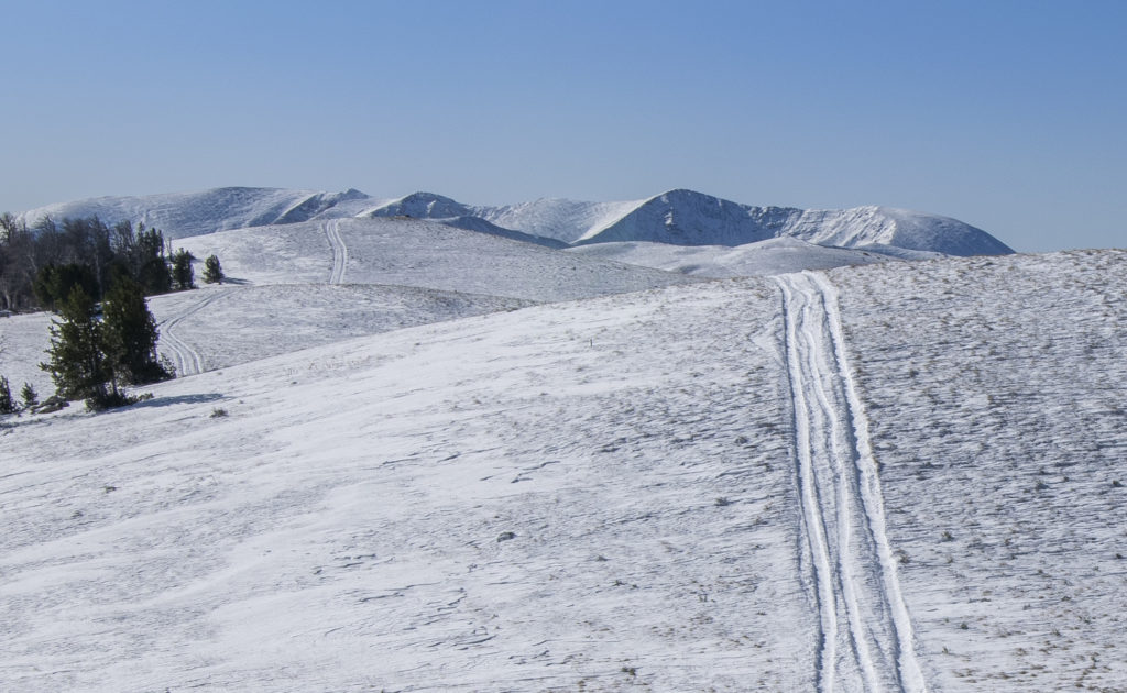
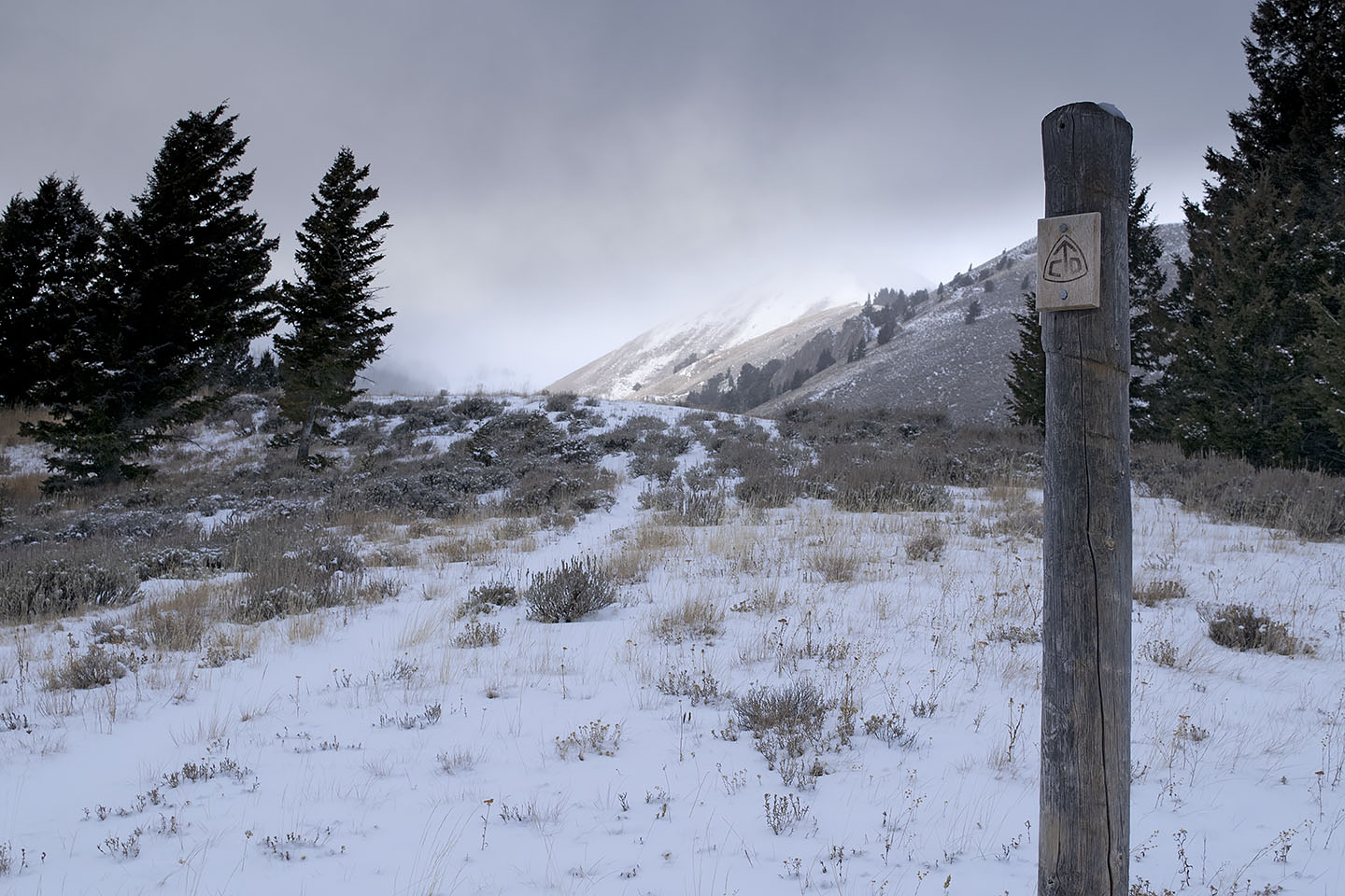
The Continental Divide Trail near Elk Mountain (10,194 feet) southern view toward Morrison Lake.

Once I started to drive, I got my answer within 20 minutes. The first two hills were approximately 75 feet high. My tires did some spinning out and the vehicle weaved about, but I got through those snowdrifts without issue. The third hill, much larger than the first two, but smaller than what was ahead, a mere 150 feet high, it had the largest snowdrift yet that morning. I got a 200-foot running start and at 10 or 15 mph smashed into the snowdrift, driving another 15 or 20 feet before I hit the brakes as I was coming to a stop. At this point, I could only hope I still had enough traction to back out the now high centered pickup.

Successful, and once again 200 feet away from the snowdrift, I hit the throttle, and once more slammed into the snowdrift, this time pushing ahead less than 6 feet beyond my last effort before again braking. Now queasy with fear, I stared at the snowdrift in front of me. I had barely made a dent in it, with the worst still in front of me. I was acutely aware that there were 10 more snowdrifts beyond this hill, many of far greater length and depth. Once again, I reversed the vehicle and was able to back out of the drift and down to the flat. It was now time to give my situation some more thought.

I’m figuring that some of you who are reading this, at this point are probably wondering what I thought I was doing. Yeah, I beat you to it. Because that is exactly what I was thinking in the saddle at the bottom of that hill. I was now regretting I had not exited the evening before, darkness be damned. More so, why did I have to come so far? I would have made out just fine next winter if I had placed the Hildreth resupply four or five miles south of here.

I thought about the equipment I carried in the pickup, designed to get me out of hard spots. The High Lift Jack, capable of handling 7000 pounds, part of a system of chains and heavy cable for getting the truck unstuck. Unfortunately, that system requires an anchor less than 100 feet distance such as a large tree or a 1000-pound boulder. There were no large rocks along this 10-mile distance, and most of the trees did not exist on the north face slopes. That meant if I got stuck all I had was the shovel. Doable I suppose, eventually. Nor were the four sets of chains for my tires going to be much good with a high centered vehicle.

There was another possible option though, one that I did not like. Back on the small rise 500 feet north of the previous night’s camp was a jeep trail that dropped off the ridgeline to the east into the Hildreth Creek drainage. I had known about it for years on my topographic map. It was one of my emergency exit routes off the Divide during the winter trip, which would take me down to the main road. Although unmaintained during the winter, Medicine Lodge Road was four miles east of the rise, and then another four miles north to where it was maintained throughout the year. That morning as I placed the resupply in a tree I had noticed the trail several hundred feet below my location. Had the sun heated up that part of the snowless south face ridge, enough to turn a frozen ground into a muddy uncontrollable slide? I certainly was not anxious to go find out, but my options had just faded in that unpenetrated snowdrift. I turned north.

Less than three quarters of a mile distance, I once again stopped the pickup. Shaken by my carelessness over the last day and now feeling mighty careful, I got out of the vehicle and made some posthole tracks over to the edge of the initial drop to get a more certain look at what I was proposing to descend. It looked doable, for more than just going down, but also for a possible return if needed. A quarter mile below the rise, I arrived at a saddle and making a right turn, began the south face descent. No longer in the snow, the steep face looked more dry than frozen. My confidence rose rapidly as I made my way down the jeep trail, sagebrush on either side of me. Oh yeah, I’ve got this.

Several minutes later, as I neared the Hildreth Creek draw the angle of descent was lessening when I spotted the left curve ahead. In addition, now came the shadow creating trees, with the consequential patches of snow, ice and mud. Moments later the front tires arrived on the mud, and the truck took on a mind of its own, sliding the front end off the trail to the left, immediately threatening to roll the truck on its right side. With my heart lodged in my throat, I spun the steering wheel to the right while simultaneously hitting the throttle. The spinning tires spewed mud all over the place. Several seconds later, all four tires were back in the deep grooves of the muddy jeep trail. Inside the next mile, I spun out a few more times, but not nearly as badly as the first incident.
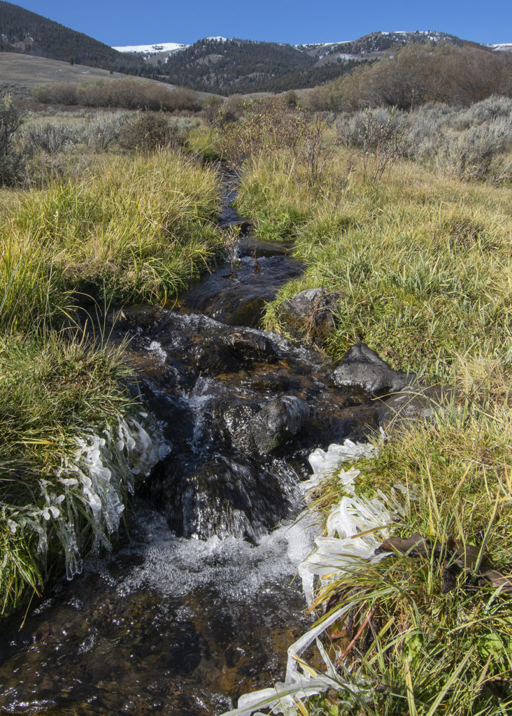
A tributary to Morrison Creek with the Continental Divide ridgeline in the background.

After crossing Hildreth Creek, a short time later, I arrived at a tributary of Morrison Creek. Figuring I was finally safe, I stopped and gave my shaky legs a small stretch. Looking back at where I had been 40 minutes before, I decided I didn’t like that trail. Credit was due though. The trail may have saved my dog and I on October 6.

By the end of the day, in spite of more mud and snowpack, I got another resupply placed and was in position to place a third from my latest camp near Deadman Lake. On Monday, I placed three more resupplies and then exited the mountains.

In another few days, I am leaving again, and I have a confession to make. I have a strong desire that for the remaining resupply placement there will be nothing further to write.

Posted on Leave a comment

The Hazardous Travel on Soft Snowpack

A plunge through the snowpack

While the snowpack on the Continental Divide in the Bitterroot Range of Montana and Idaho remains soft, change is in the works. With the more direct rays of the mid-March sun coupled with a forecast in the next seven days of warming temperatures, a crust is finally going to form on the surface. That means I will be able to travel with lessening danger of breaking through the surface of the snow.

Because I travel alone during the winter, conservative actions are essential. That means I should take no chances in the many feet of deep snowpack with anything less than a strong crust. The snowpack needs to carry my weight and a large backpack, in addition to pulling a sled. While wearing snowshoes, a deep plunge through the snow with a load can blowout joints and even break bones. An accident like this can happen even on a flat, but is particularly hazardous in a descent. In addition, if the crust is just barely strong enough to carry my weight, that is synonymous to more plunging in an ascent, making the climb impossible to complete without breaking the load down and ferrying my gear and supplies to the top of the hill/mountain. Need I say that there is no joy in that type of travel?

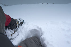
A weak crust, this area of the Centennial Mountains was fine for travel until I began a small ascent. A snowshoe broke through, and the rest of my body dropped through the snowpack.

Powder snow or a weak crust is tough to travel through, impossible on a long haul, and nearly so when only going out for two or three days. In the next 60 days, I plan to exit three times for two days each over a distance of 203 miles. The rest of the time, I will be ascending and descending continuously, doing push back on the cold while evading the Continental Divide’s windy storms and the consequential avalanche zones. The last thing I need is to go out on a snowpack that will not hold approximately 300 pounds of weight.

Posted on 4 Comments

Trip’s Beginning, Ferrying the Load

During the ascent of Sawmill Creek ridgeline on the still visible Continental Divide Trail.

Yesterday, December 1, 2018, the approximate date I was to begin traveling along Montana and Idaho’s portion of the Continental Divide, I sort of did begin. Throughout the last several years, in the Sawmill Creek area I have lost four resupplies to the “Finders keepers, losers weepers” crowd who frequent the area during the autumn. So this year I did a couple things different.

First, in October I located the resupply a much greater distance from the trailhead, and then placed it on a steep forested North face slope. What I did second, yesterday, was make it back up there and ascertain the resupply was still in the tree. Moreover, just in case it was not, I brought a replacement. As it turned out, the cache was still there.

On December 1, 2018, the resupply on Sawmill Creek ridgeline, the first of 25 placed on Montana and Idaho’s portion of the Continental Divide

Last night on the phone, my wife questioned the logic of what I did next. I left the second resupply at the location, giving me a total of 12 days of food and 20 days of fuel. Here is where foolish makes itself known. When I arrive there today with the rest of my load, and then load up what is already there, I will be pushing through the powder snow with a load that weighs 125 pounds. Again, from my previous post, I am clear that that amount of weight is ridiculous in the mountainous terrain I am attempting to get through.

On the other hand, I have known for quite some time that I would be ferrying the load during the beginning of the trip. There is no way that I can pull a singular load with that amount of weight through powder snow up a mountain.

When I break camp on December 3, this view and what is in it, awaits my efforts.

In addition to toting the resupply up the ridge yesterday, I also brought my tent and the entire kitchen. While today’s load getting up to the cached materials will be 80 pounds, that is still a whole lot better than the original 105 pounds I was doomed to bring.

Finally, I will not be leaving Lima Montana until after noon. That is when my ride will become available. In short, it is unlikely that I will make it beyond where my gear and food is presently located. I will lose daylight by 5 PM. Not only is darkness tough to work with getting things done, but it also brings colder temperatures into the mix.

Well, I suppose I won’t be going hungry anytime soon.

Posted on 4 Comments

CDT 2019, The Journey Continues

In 72 hours the winter journey along the Continental Divide in Montana and Idaho continues. Near Lima Montana, Sawmill Creek Road will take me to the Sawmill Creek Trailhead approximately 12 miles from Interstate 15, if it is still open. Otherwise, I will snowshoe that distance. There is nothing easy here. If I am able to drive to the trailhead, I will immediately have 3 miles to travel in an ascent of 1700 feet, most of it with 114 pounds on board.

Near the end of the winter of 2018 on the Continental Divide in the Bitterroot Range of Montana and Idaho, a 1000-foot ascent with a 90-pound load.

Now I know there are supermen out there, particularly in the movies, books and on the Internet. I am not one of them. In my case, a climb like that in powder snow with this load is utterly ridiculous, likely impossible, yet essential, and therefore requiring a substantial amount of extra travel. I will have to break the load down and ferry my gear and food up the mountainside. I am figuring three days—3 miles.

In my opinion, and it is the only one that really counts here, this is one hell of a lousy way to begin a 3 to 5 month journey. Nevertheless…

If successful, besides the daily forward progress generic message updates, at the end of 40 miles I will place another update with photos on my website.

From a meadow, at an altitude of 8800 feet, Sawmill Creek Canyon ridgeline, a pleasant July view of Garfield Mountain (10,961 feet).

…. And then it was 2022!? WTH!!

An update is coming, right about when the last vestiges of summer are passing. I’ll be back shortly. Hint: A Thousand Miles of Winter has continued throughout the last three winters. RGL

Posted on Leave a comment

Into the Bitterroot Range

In the summer of 1968, the year I turned 17, I visited a friend at his parent’s ranch in Montana’s Bitterroot Valley. It was June or August; I am unsure which. The reason I know it was one of those two months was because they were bucking bales of hay, 85 to 95 pounds of twined grass for the following winter’s feeding of their cattle. A difficult job, throwing those scratchy, heavy and awkward bales onto the flatbed trailer, where someone else stacked them neatly in layers. The work required lots of upper body strength, leather gloves and regardless of how hot the day may have been, wearing a long sleeve shirt.

Day-7 of 11 during the final leg of travel in the Centennial Mountains of Idaho and Montana.

On the ground strolling next to the moving trailer were three men. They were throwing the bales up to the man on the growing stack of hay. One of these men was a shocker for me. My friend’s grandfather, and he was old! I said nothing as I watched this guy stay up with the younger men. To me he was a phenomenon. All the people I knew that were his age, the World War I generation, had retired, were drawing pensions and sitting around waiting for that last breath and the stilling of their hearts.

Not him! He was strolling on that field at about 2 miles per hour picking up those bales, throwing them, and occasionally cussing when one would penetrate his long sleeve shirt and scratch his arm. He absolutely did not belong out there and yet there he was refusing that rocking chair.

That year also marked the 50th anniversary of when the Doughboys fought in France, thereby ending the Great War. He was one of those soldiers or marine.

Watching the old man and seeing the difference, inwardly I shook my head. I figured I would be one of those who would quit; claiming old age, rather than go down like him pushing the envelope to the very end.

A year after that momentous occasion I joined the Army and went to Vietnam. Now 50 years later, I may have been wrong about me.

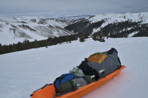
In a matter of hours, I will connect the sled to the backpack, slip into the snowshoe harnesses, throw the backpack on, and travel into the great and barren wilderness of the Bitterroot Range for an unknown number of weeks. This will be my longest leg yet with 52 miles to travel and 28 days of supplies to get me through 11,000 feet of ascending and descending.

Quit hell! Maybe tomorrow.

Day-6 of 11, north face travel, 3 days of it in steep and forested terrain. Final leg of travel in the Centennial Mountains of Montana and Idaho.

Posted on Leave a comment

An Increased Load

With the collapse of my most important protective gear, in particular the sleeping system, but also the down coat and my active clothing, which includes my boots and torso layers, there have been additional alterations made. As a result, when I continue the trip along the Great Divide, probably Wednesday, February 21, the weight of my load has increased to 91 pounds. This leg, the third this winter, will begin in Montana in the Centennial Valley, taking me up to Pete Creek Divide in the Centennial Mountains, and then west to the Monida Pass area and Interstate 15, a distance of 20 miles.

After an overnighter at the Mountain View Motel in Lima Montana, the next leg will take me west of Monida Pass and Interstate 15, which will be much tougher. At 52 miles in length, this leg will require a heavier load.

West Camas Creek Road near Pete Creek confluence, Centennial Mountains, Idaho

Later, with winter’s worst behind me, where temperatures will have been capable of dropping to forty and more degrees below zero Fahrenheit, I will shed some of the necessary protective gear, eventually getting the load down to 83 pounds. The lighter load will happen after mid-March, when the lowest temperature will only be capable of dropping to ten below zero.

In April, the coldest temperatures will remain above zero. At that time however, it will become necessary to carry climbing gear, approximately 15 pounds of additional weight.

Posted on 2 Comments

Preventing the Sleeping System from Collapse

Moisture is more dangerous in a winter camp than the coldest temperature!

My sleeping system collapsed on the 10th and final night of the last trip. During the journey I weathered two nights with temperatures subzero Fahrenheit, one with a low of 17 degrees below zero. On the final night, the low temperature was 12°, something the system should have been able to handle, but failed.

Building the final camp of the trip. The temperature had just dropped below zero degrees Fahrenheit. (Click on pictures to enlarge.)

For the last week and a half, I have been thinking about what happened so I can determine what I need to do to make sure there is not a repeat, or minimize the impact of a recurrence. Much of what I am about to list I have known in some cases for more than 20 years, but forgot during the trip.

Starting with the last item first:

·       There is no guarantee that the failure will not happen again.

·       My body is always releasing moisture. 

o   But for the vapor barrier liner inside the sleeping bag and bivy sack, I can do little about that.

·       To prevent moisture from dripping off the tent ceiling and walls, keep the temperature inside the tent as much as possible below 32°F.

·       Minimize the use of the stove.

o   As much as possible, do not let water boil.

o   Turn the stove off rather than let water simmer.

o   Open the vents further in the vestibule and the tent interior.

o   Close the inner tent door, thereby blocking some moisture from the kitchen inside the vestibule.

·       Except in an emergency, do not use heat from the stove to dry equipment and clothing.

·       Wherever possible build camps where there is air movement, which will keep the frost down on walls and equipment. Where wind is concerned, it is both friend and enemy.

o   Friend: The wind keeps the moisture down by replenishing moisture-laden air inside the tent with the extremely low humidity winter air, thereby minimizing or eliminating frost/moisture buildup.

o   Enemy: On the Continental Divide, scoured ridgelines are a sign that the wind up there can tear a tent apart. I know; one destroyed tent in Henrys Lake Mountains, and one blown away tent off a bald mountain in the Centennial Mountains.

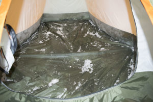
After losing 85 ounces of water inside the tent, the only residue remaining while breaking camp was scattered on the tent floor. Most of the water froze inside the equipment spread out on the floor.

·       Minimize the amount of stored water. Melt snow only for immediate use except for the water used through the night and for the next morning’s first cup of coffee.

·       Add a fleece blanket with a zipper, to place the sleeping bag inside. This extra layer of insulation will slow the frost buildup inside the down of the sleeping bag. Unfortunately, its weight is 26.8 ounces. The blanket is a mere 2 ounces less than the bivy sack and vapor barrier liner combined.

The trip demonstrated to me that my sleeping system is imminent to fail. The only question is how long I can postpone the collapse. This problem could be fatal. The bedroom in the tent is my final defense against the cold. If it should fail, then like so many others who have gone before me, my demise becomes a distinct possibility.

Posted on 2 Comments

Get it Right, or go Hungry

As the result of the back off/go around of Big Table Mountain two weeks ago, I now face a resupply dilemma. The distance between Kilgore, where I will begin again, to Pete Creek Divide is greater than any other area to the 241-mile distant Chief Joseph Pass. In the powder snow condition now present on the Continental Divide, I will average less than two miles per day of forward progress.

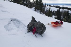
Leaving the backpack and sled behind, as I build a trail through the powder snowpack.

For those of you unfamiliar with travel conditions in deep powder, I have to drop my pack and sled, and then build a trail through the snow before progressing forward with my gear. If my journey remains the same as two weeks ago, I will travel an average of 4.5 miles to gain 1.5 miles per day. This is the penalty of traveling alone and for making the attempt during the period between December and at least mid-February. In addition, the remainder of February through March is still a threat for powder travel conditions. There are no guarantees.

To get through this area, I plan to carry 12 days of supplies from Kilgore, Idaho to the next resupply. That tallies to a substantial weight, almost 90 pounds. In spite of this large supply, if the resupply near Pete Creek Divide is missing, I may be down to three days of supplies to get me to the Monida Pass area. I could find myself without supplies for four days.

A resupply located at least 12 feet above the ground.

Needing to address this threat as I see it, I have two options. Both look and smell like a bag of rotting groceries. The first option is to skip the ascent to Pete Creek Divide, thereby saving two days of travel, including a 900-foot climb. The other option, should I find that the resupply is missing up there, I could dive off the north face of the Centennial Mountains, down to Centennial Valley on the Montana side of the mountains, and arrive at the winter maintained road. Unfortunately, neither option may be enough. I might still run out of supplies before arriving back on the edge of civilization.

Fortunately, the only decision I need to make today is when I leave to continue the trip. The next decision can wait until I arrive at the first fork on the route, approximately six days into the trip. Unfortunately, much also depends on how quickly I get to that first fork. With the incoming storm, I can only give a partially educated guess concerning how much powder I will encounter, which is likely to be substantial.

I leave for the trailhead in 72 hours.

Posted on Leave a comment

Lessons Forgotten

I almost lost my life in Glacier National Park during the night of February 16, 2006. The temperature dropped to 30 degrees below zero Fahrenheit. My down bag was damp from six nights of use, and the down had approached the level of useless. As if that was not enough, in the cold an O-Ring in the stove cracked, pouring fuel near the flame of the stove, making it useless.

Never, I decided, after having survived that night, would I enter the backcountry without the gear to handle whatever that particular area was capable of throwing at me.

Well now.

The NOAA seven-day extended forecast has nothing extreme in the forecast . . . just like February 2006. So here I am, prepared for the first leg of the trip, 16 days in length, having packed a 47-ounce sleeping bag rather than the battleship 77-ounce bag. That is about to change.

Just mentioning what happened on that trip continues to choke me up. PTSD, I suppose, except here it may save my life inside the next two weeks or so.

The picture of Mount Kitt, Pyramid and Cathedral Peaks, taken during the trip near the head of Glenns Lake, showed a high-pressure Arctic cold replacing the exiting 36-hour storm. I remained unaware, the result of calloused thinking, for another 50 hours. Throughout most of that time, the temperature continued to fall. When I broke through the ice during the crossing of Belly River, the temperature had just disappeared below zero degrees Fahrenheit. From that moment until 36 hours later, I was fighting to survive.

Lessons hard learned yet remain so easy to forget. In my case, this one has all the markings of my ego. It is never too late to bushwhack oneself after becoming an expert.

Posted on 4 Comments

The Fourth of July Resupplies

This morning, I am thinking about the two caches in Idaho near Gibbonsville. The number of hunters that were in that area when I placed the resupplies was an eye-opener, but not, apparently, enough to deter me from placing eight days of groceries and fuel up there. This close to December, it is likely too late to go verify they are still in place, unless it becomes a multi-night backcountry snowshoe trip.

Topographic map of the Fourth of July and Sheep Creek canyons where two resupplies are located. (Click on the picture to enlarge.)

Here’s the issue; those caches are 220 miles beyond the beginning of this winter’s travel. Hell, I haven’t even left yet, and whether they are still hanging in their respective trees are weighing on me. Am I to resign myself to months of worrying? God knows, throughout the last three years, as many that have gone missing after I have hung them, this is a valid concern.

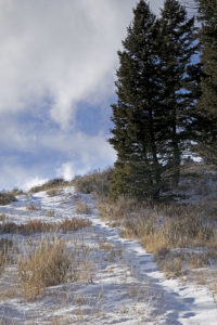
The Continental Divide Trail near the head of Fourth of July Creek canyon, unusable throughout the winter.

One other item, the distance to Chief Joseph Pass is 248 miles, this winter’s original goal. If I am able to get that far, it will be a wonder. Yet in October, I decided to tack on an additional 235 miles. Nope, 248 miles will have to suffice for this winter. There are far too many hazardous locations along the route, which coupled to the great unknown—weather; gives me plenty of opportunities to get into all kinds of trouble.

Back to the original topic, I will not be making that trip to investigate whether the two resupplies are still on location.

Umm, and I reserve the right to change my mind again.

Posted on Leave a comment

Continental Divide, Winter of 2018

I have expanded this winter’s snowshoe trip along the Continental Divide. As a result, rather than starting to travel in the beginning days of February, I plan to leave approximately December 1.

Starting on October 27, I hung six resupplies in the extended area, with a final five remaining to place. Out of these five, two will be in the Anaconda Range in the Mussigbrod and Johnson Lakes areas. More on these two a couple paragraphs from now. The other three will go into the area of Southwest Montana near Monida Pass. I will place these three as soon as I believe they will be safe from the autumn and early winter crowd, near the end of November.

After completing the final resupplies, I will build another 11.  Of these, I will retrieve nine during the trip where the route intersects the winter maintained roads. The final two are spares.

Falls Fork Rock Creek, Anaconda Range, Montana

During November, I plan to take three training trips. The first, as always, is nothing more than a single night to check out the equipment–and me–for the multi-night trips that will take place soon afterwards. Unless the freshly fallen snow relinquishes its hold on the roads to Mussigbrod and Johnson Lakes Trailheads, one trip will be a 25-mile, 6-day journey, while the other is 12 miles for four days. I will place the two remaining caches for the Anaconda Range during these two trips.

Frankly, I am surprised at the level of winter we are experiencing this early here in Montana. Many years have elapsed since we encountered snow and cold at this level so early in November.

The photos I am showing are of another year in the Anaconda Range. The main photo is Johnson Lake while the others are from Falls Fork Rock Creek canyon, the western route to the lake. When I come through this area next winter, my route comes from the south on the other side of the mountain in the photo, East Pintler Peak (9486 ft.). The mountain skyline is the Continental Divide. When I arrive at the resupply in this area, behind me will be 289 miles of travel, with 190 miles remaining in front of me.

Last thoughts; I place these photos and explanations on this website and my Facebook page @AThousandMilesofWinter for those interested in my trip. Unless I ask for it, I am not open to advice. You can offer up hope, etc. You may even ask questions, which I will try to answer in a timely manner. Time grows short though. If you wish to help in some way, let me know, I will see if there is a fit for you somewhere. While I travel alone most of the time, no one takes a trip of this magnitude, unaided. My wife and others can handily verify that statement.

Crusted snow on the south face of a canyon wall, Anaconda Range, Montana.

No, I did not forget. This winter’s attempted travel is 480 miles with supplies for 171 days, approximately half the distance to the Canadian border. I plan to complete this segment by mid-April. The food amount does not synchronize with the days between December and April. There is a reason for the excess. In the second paragraph, I hinted about this. Not all of my resupplies are going to survive the autumn hunting season. In addition, it is impossible to know where or for how long the storms will force me to hunker down. What I do know is that I still have to eat and burn gasoline for water when I am not moving.

A camp in the Falls Fork Rock Creek canyon, Anaconda-Pintler Wilderness.

Posted on Leave a comment

Lightening the Load

Sunset on the Continental Divide near Taylor Mountain in the Eastern Centennial Mountains of Montana and Idaho.

It was 10 days ago that I heard something from a thru-hiker on the Continental Divide Trail which has been sticking in my craw ever since. When I met the slim 6’6” fellow of 30 years, he had been on the trail for at least three months. He was at the end of a 30-minute period of matching my pace, which he had been obliged to do at my request, when he uttered the two sentences that I have yet to relinquish.

“I lightened my load so that I could travel faster and thereby go further each day.”

He was not finished. He concluded by saying, “And by increasing my daily distance, I get to carry even less of a load”.

By applying this snowball effect logic, I suspect he is able to cover a distance in two days where many other thru-hikers will need three days. Meanwhile during the winter I will need between 12 and 20 days for the same area.

cm0815150460
Hiking into the clouds on the Continental Divide Trail in the Eastern Centennial Mountains of Montana and Idaho

I realize that summer travel is vastly different in many ways to winter travel. Nevertheless, I am continuing to ponder what he said as I prepare my 25 three and four-day resupplies for next winter’s trip. I also realize winter travel is far more hazardous and unpredictable. If I should go too far in lightening my load, it could prove to be catastrophic.

Summer travelers have lightning, rain, and an occasional small snowstorm to deal with at the most. The winter expedition traveler in Montana and Idaho needs to have the equipment to keep him or her safe in blizzards and temperatures down to 50 degrees below zero. Often the weather can be so bad that all travel comes to a stop, while eating food and melting snow for water continues. Obviously, winter carries its own special set of extra rules.

In spite of the sometimes-hazardous circumstances of winter travel, I will continue to seek ways to lighten the load without setting myself up for a fatal trip next winter.